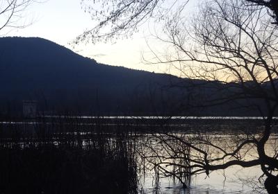
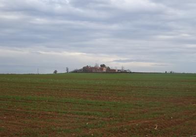
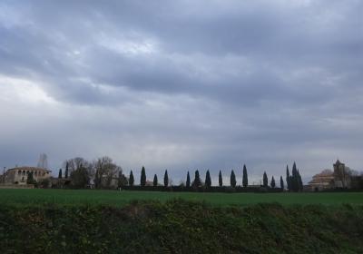
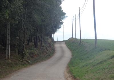
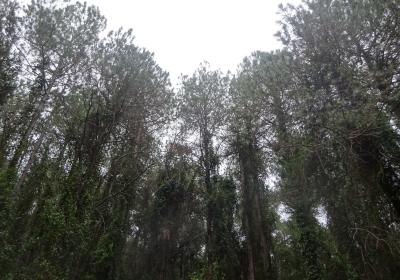
The third stage of the GR 1 Transversal Path takes us to Banyoles -in the heart of the region of Pla de l’Estany- flanking the dense forest surface of the Bon Aire mountain. In these mountains you will see how common smilax, honeysuckle and ivy creep over the pine trees and holm oaks and form a gloomy and almost impenetrable forest. However, sometimes the forest clears and offers beautiful views of the valley of Fluvià. During the final stretch of the stage, which is a descent, the land opens out and you can admire the basin of the lake of Banyoles. This is the most popular and well-known karst lake in Catalonia, it is a must visit and essential destination.
Average. This stage runs along tracks, paths and some paved stretches. There are frequeny path changes, you need to pay a lot of attention to all the forking paths that you come across.
No special equipment needed.
Regional map of Catalonia 1:50,000 Alt Empordà - 02. Geological and Cartographic Institute of Catalonia (ICGC).
You begin the third stage of the GR 1 route in (1) Veïnat de Can Dalmau (0:00h - 186m). You pass the series of houses and -always following the white and red GR signs- you take a path that climbs gently (NO) towards the Bon Aire mountain. You walk further into the beautiful and dense forests of pine trees and holm oaks on this mountain. The rich and abundant undergrowth makes the forest cover seem impenetrable. You go past several detours and walk alongside the majestic (2) Mas de Can Canet (1:00h - 268m). You continue in a NW direction towards the fields and neighbourhood of Brunsó, where you enjoy very good views from the valley of the river Fluvià (N).
After going past the last house in Brunsó, turn left (S-SW) and begin to go down the mountain side. You reach a point where the earth track becomes paving. You leave behind the hermitage of Sant Miquel on your right and arrive at the entrance to (3) Centenys (1:25 - 251m). It is highly recommendable to take a momentary detour off the GR 1 and explore this beautiful town that sits at a height above the plain. Its narrow streets and rustic facades will transport you to other eras.
Get back onto the track and continue down a paved path in a south-southwest direction. The path separates the fields of La Casanova and the fields of Borrell and takes you directly to the narrow GIV-5136 road. Cross this road and continue down to the town of (4) La Farrès (1:45 - 243m). You cross this small town along the main road and take a small detour to the right (W). You will quickly arrive at the access roundabout to the resort of (5) Melianta (1:50 - 231m). Go around this residential area along Calle Mossèn Pere Campolier. You will reach a point where you leave this street and take a path that goes down towards the left next to a low wall, just above the ravine of the stream of Melianta. You reach a public park, the starting point of the local routes towards the springs of Melianta. You head up Calle Revardit, that takes you back up to Calle Mossèn Pere Campolier. Afterwards you enter the expansive Pla de la Bruguera. You cross this plain along a paved path and when you reach Can Seraia you take a detour on the right. You immediately arrive at a bridge that crosses the (6) C-66 road (2:20 - 234m).
You continue south and pass the buildings of the impressive Mas Usall. You keep heading along the path until it joins up with the Banyoles road. Head 300m along the side of the road and you will come to six beautiful elm trees and the fountain of La Rajoleria. At this point you leave the paved path and continue along a track that descends parallel to the road, alongside a field and a school. You reach the old road of Figueroles, now a street, and follow it to the monastery of (7) Sant Esteve de Banyoles (3:05h - 167m), the finishing point of the stage, right at the urban core of Banyoles.
The concert of sound offered by nature during the mountain stretch of the Bon Aire mountain.
The stunning massifs found throughout the stage, such as Can Canet and Mas Usall.
The charming town of Centenys, with its Romanesque church and tiny streets.
In the 9th century a series of exit channels was built on the lake of Banyoles in order to control the water level and prevent flooding? The monks from the Benedictine monastery of Saint Esteve, which was founded in 812, built a channelling system that crosses the entire city of Banyoles, branches out and flow into the river Terri. Thanks to this system, Banyoles was inhabitable and its residents used the canals for all kinds of purposes: washing, irrigation, the textile industry....
Visiting the beautiful town of Centenys. It is worthwhile losing yourself among the little narrow streets of this small town and visiting its Plaza Mayor. Also, it is worth highlighting the pretty Romanesque church of Sant Iscle and Santa Santa Victòria, which dates from the 11th and 12h centuries, and the monumental country houses in the area around Centenys.
Part of the rout of this stage is quite exposed to the sun. If you undertake the route during the summer months it is important to drink water along the way and protect yourself from the sun in order to avoid heatstroke.

