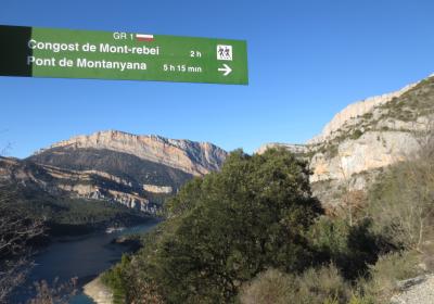
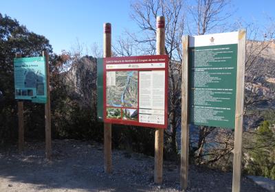
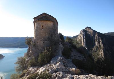
The twenty-fourth stage of the GR 1 Transversal Trail runs entirely through the comarca of la Noguera (Lleida). From Àger, the main village in the beautiful Àger valley, you will cross the western side of the valley to Mas Carlets, quite close to the canyon of Mont-rebei. During this stage you will pass the small village of Corçà and the lovely landscape of la Pertusa, a marvelous overlook onto Canelles reservoir and the location for one of the jewels of the Catalan Romanesque: the hermitage of Mare de Déu de la Pertusa. From Àger to la Pertusa you will walk mainly along a dirt trail; the stretch from la Pertusa to Mas Carlets, however, is along a pleasant and charming narrow path.
Considerable. Derived from the distance and ascent to overcome.
None in particular.
Topographic map of Catalonia 1:25,000. Institut Cartogràfic i Geològic de Catalunya (ICGC).
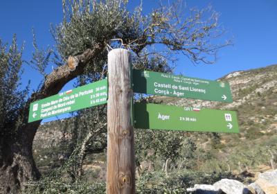
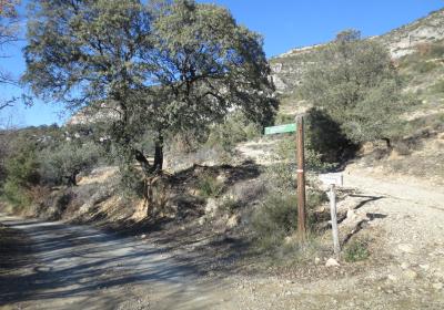
We begin the twenty-fourth stage of the Transversal Trail in (1) Àger (0:00 - 600 m). Follow the white and red GR 1 trail markers along road number C-12 in the direction of Balaguer, leaving behind the historic center of Àger on your left (S). Immediately turn onto a track on your right. Cross the road that leads up the hill to the Universe Observation Center (PAM) and pass the cemetery. The track continues for a few meters above road number C-12. Near the hermitage of Santa Helena, it coincides for a few meters with the secondary road from Àger to Corçà. You will continue on a long stretch between the fields of what is called the Pla de la Cerdanya until you reach a curve in the road from Àger to Corçà.
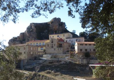
At this point, take the path that breaks off to the right (NW) and you will begin a stretch that crosses four ravines in succession: barranc del Salt, barranc de la Pedrona, barranc del Caminer and barranc del Mas Nou. Leave the track and turn onto a narrow path on the right that ascends a few meters through the area of Claramunts. Continue flanking the mountain, heading NW at an elevation of approximately 740 m. You will pass a number of forking paths and farmhouses until you reach the small village of (2) Corçà (2:10 - 683 m), which is built around a small hill. If you have ample time, you can take a stroll around the village, where notable buildings include the castle and the church of la Mare de Déu.
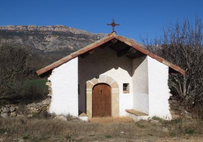
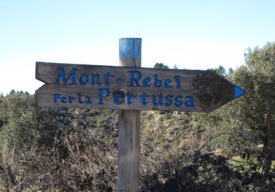
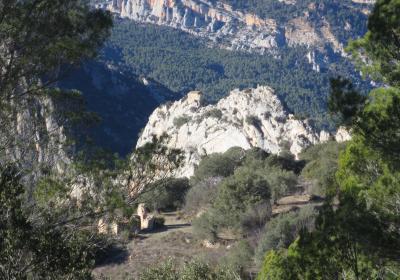
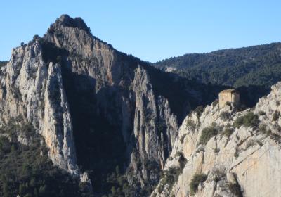
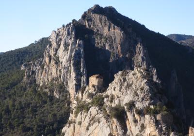
From Corçà, continue a few meters along the paved road toward the N and immediately take a track that leads in the direction of the canyon of Mont-rebei (NW). You will pass the cemetery of Corçà and continue straight ahead, passing various paths that break off on both sides of the track. You will reach a small pass, the (3) entrance to la Pertusa (2:35 - 665 m). This is frequently visited area and you will probably come across a fair number of cars, especially on the weekend or during holiday periods. Just to your left is the path that leads up to the hermitage of la Pertusa (0:10 round trip). The hermitage is located in a spectacular spot, at the very top of a steep cliff. It is worthwhile to dedicate some time to visiting the area and the Romanesque hermitage.
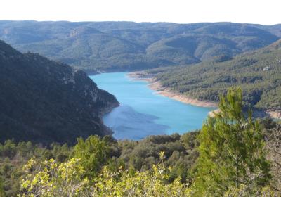
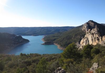
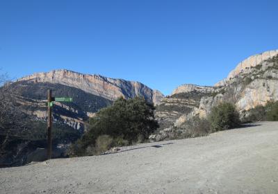
You are entering the final stretch of this stage. From the entrance to the Pertusa, you will descend along the narrow path that leads toward the Mont-rebei canyon (N). On your right you will pass the path that ascends toward the Sant Llorenç castle and the Urquiza-Olmo climbing route (via ferrata). Descend directly, following the zig-zags to the bottom of la Pardina ravine. Cross the ravine and you will be on the final uphill section of the stage. Pass the ruins of casa de la Pardina and continue ascending, following some switchbacks. You will walk along an elevated road the provides fine views of the Canelles reservoir. Once you reach the high areas of the serra del Mill, you will descend for a short stretch and arrive at (4) Mas Carlets (3:40 - 750 m), an abandoned farmhouse set in the shadow of a monumental oak tree. Next to Mas Carlets, there is the Rajolí fountain which is dry for many months out of the year. There is a project in course to adapt Mas Carlets to be used as a hiking shelter.
Discovering and visiting the hermitage of Mare de Déu de la Pertusa, which is located at the very edge of a steep gorge.
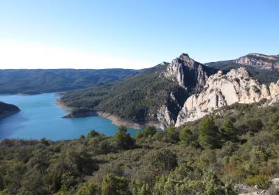
The views of the Canelles reservoir and the Mont-rebei canyon from la Pertusa, a stunning overlook point.
The hermitage of Mare de Déu de la Pertusa was the chapel of the old Sant Llorenç castle? The castle, one tower of which is still standing, was built to watch over the Àger valley and to control the route through the canyon of Mont-rebei. The hermitage of la Pertusa appears in documentation for the first time in 1162, under the name Petrapertusa.
Taking a picture of the hermitage of Mare de Déu de la Pertusa in the foreground, with the Canelles reservoir in the background. The reservoir on the Noguera Ribagorçana river was built in 1959. The place waters of the reservoir are perfect for kayaking and other leisure boats.
The route for this stage is very exposed to the sun. If you are travelling during the summer months, it is important to drink plenty of water and protect yourself from the sun to prevent sunstroke.

