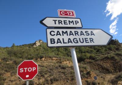
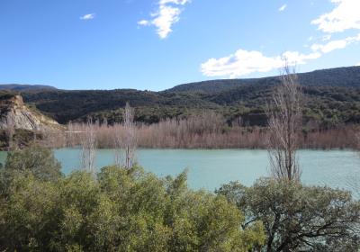
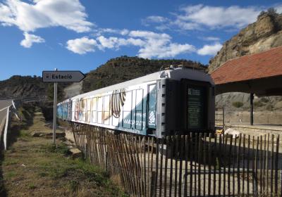
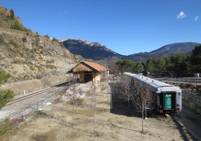
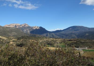
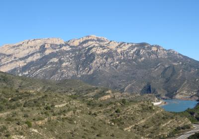
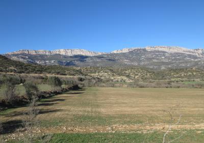
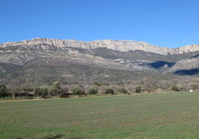
During this twenty-second stage of the GR 1 Transversal Trail, you will discover a splendid valley that is full of history: la vall d’Àger. This Pre-Pyrenean valley is located in the comarca of la Noguera (Lleida) and is bordered by two canyons – Terradets, to the east, and Mont-rebei, to the west – and by two mountain ranges – the Montsec, to the north, and the Montclús, to the south. Begin the stage along the edge of the Comarasa reservoir, walking by the side of the road and the train tracks. Near the Caseta de l’Estació (station house), there is a path that leads upward toward l’Ametlla del Montsec. From here, the route passes by a number of farmhouses before ending the stage in the historic village of Àger.
Considerable. Derived from the distance and ascent to overcome.
None in particular.
Topographic map of Catalonia 1:25,000. Institut Cartogràfic i Geològic de Catalunya (ICGC).
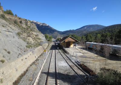
We begin the twenty-third stage of the GR 1 trail at the (1) Camarasa reservoir (0:00 - 349 m), at the intersection of roads C-12 i C-13. Walk along the C-12 toward Àger (SW) and you will cross a bridge that spans the reservoir. Continue along the edge of the road, being careful of vehicle traffic, until you arrive at the (2) Àger station (0:30 - 350 m). From this point you will be switching paths often and there are many crossings. Pay close attention to the white and red GR 1 trail markers.
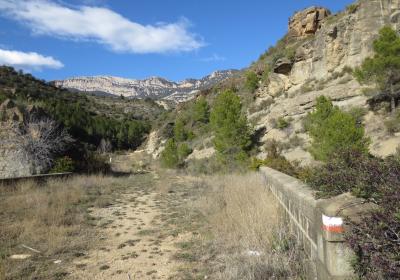
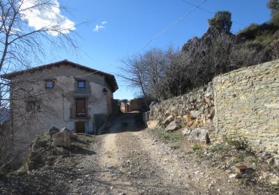
From the Àger station you will break away from the C-12 road and follow the old road that crosses the train tracks (bridge). After about 250 m you will leave behind that road, which continues to the left, and turn onto a narrow path that climbs up the right-hand slope of the barranc dels Cols. You will connect with a track and continue ascending, now on the left-hand side of the ravine. Follow a few zig-zags until you reach the crest of the mountain. You will pass several fields until you reach a flat area, where you will connect with another track, leading off to the left (W). Soon you will come to a (3) an intersection (1:05 - 525 m). Take the track to the right, which leads up to the crest of a small hill. Walk along the edge of a field and connect with another track. You will cross a small valley – Clot d’en Pere and barranc del Pintor – and continue ascending the other slope. You will reach a small pass (570 m). You will see a number of paths on the right and left and pass by Casa Retjo.
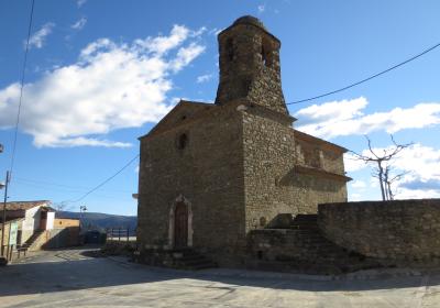
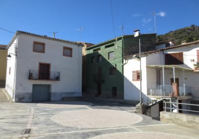
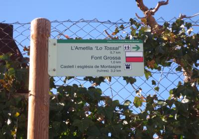
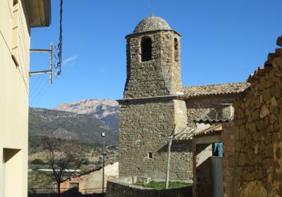
Follow the gentle descent across this very pleasant terrain. Cross the Canaril ravine and you will soon arrive at (4) Ametlla del Montsec (1:25h - 555m), specifically the area of Lo Raval. Enter the village and walk until you reach the plaça de l’Església. You will pass the municipal pool and follow the road to the higher section of Ametlla del Montsec, called el Tossal. From the square in el Tossal, take the track that leads off to the left (W). You will come to the bottom of the Marcó ravine and cross it. On your left, you will see the Corral de Cisco. Directly past it, turn onto a track that breaks off to the left (SW). In the next section – again – you will pass a number of paths and forks that break off on either side. Pay close attention to the red and white GR 1 trail markers. Cross the Tirintí ravine and you will come to the (5) Barlà farmhouse (2:25 - 644 m), located on the left-hand side of the path.
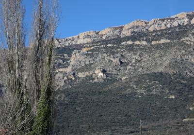
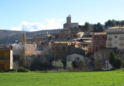
Continue along the track (W) and you will soon come to the (6) Conill farmhouse (2:40 - 672 m). From here, descend to the Colobor ravine, which you will cross. Ascend the other side of the ravine on the West side, advancing toward the south, until you reach the environs of the Carxeu farmhouse. You are entering the final stretch of this stage. Continue flanking the mountain, advancing toward the West in a gradual descent. You will cross a few ravines and arrive at the historic village of (7) Àger (3:35 - 600 m). You will enter the village passing the football field and the swimming pool. The historic center of Àger, with the Àger castle and Sant Pere church will be just ahead of you (SW). This is a lovely place, in the heart of the Àger valley and at the foot of the sensational rock walls of the serra del Montsec.
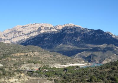
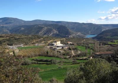
Walking through the Àger valley and enjoying the splendid views of the southern slopes of the Montsec d’Ares.
If it is hot out, cooling off in the water of the Camarasa reservoir and the Noguera Pallaresa River.
The approach to Àger walking amid the fields with the silhouette of the village and the walled enclosure in the background.
The Àger valley is an idea place to enjoy nature and practice a variety of different adventure sports? More and more adventure sports fans are visiting Àger for hang-gliding or paragliding, kayaking on the waters of the Noguera Ribagorçana River or just for hiking. In turn the Montsec Astronomical Park (PAM) is one-of-kind in Europe for observing the night sky, because of the optimum meteorological conditions, the minimal light contamination and the high quality of the images that can be captured.
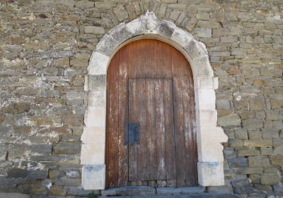
Once you’ve completed the stage, take a walk around the historic center of Àger, and stroll down its streets. In the highest area of the village, you will find the remains of the monumental site of Sant Pere d’Àger with its church and castle. This historic site has been declared a cultural asset of national interest.
The route for this stage is very exposed to the sun. If you are travelling during the summer months, it is important to drink plenty of water and protect yourself from the sun to prevent sunstroke.

