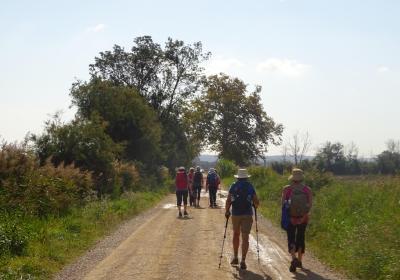
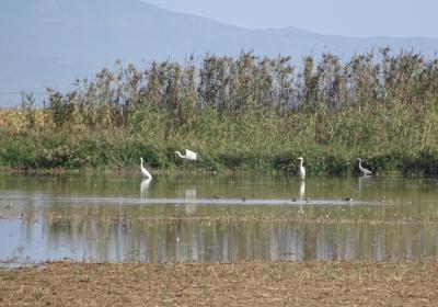
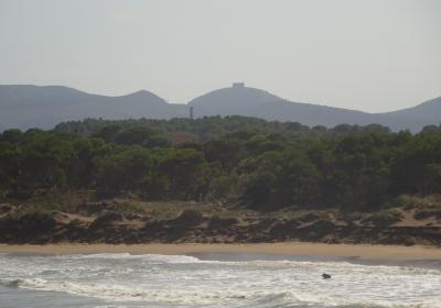
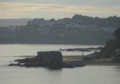
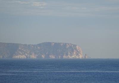
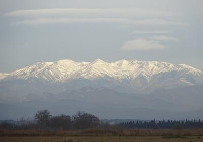
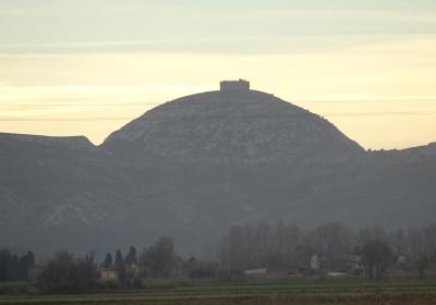
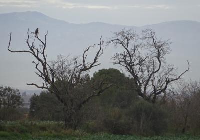
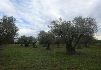
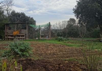
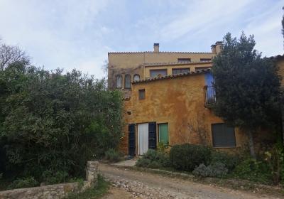
The initial stage of the GR 1 Transversal route takes us from the vicinities of the former Greco-Roman colony of Emporion, located in the far south of the Gulf of Roses, to the inland plain of Empordà, crossing pretty olive fields, cereal crops, and woods of pine trees and holm oaks. During the entire route you can enjoy expansive views over the Montgrí massif and of the majestic peak of Canigó, which you will see covered in snow until well into spring. Furthermore, the fact that the stage runs along the southern edge of the Aiguamolls de l'Empordà Natural Park, allows you enjoy watching birds as significant and special as the purple heron, the kingfisher or the western swamp hen which has been reintroduced.
Considerable This stage presents no technical difficulty at all (it runs along trails, paths, and some paved stretches) however it is of a considerable length and you should pay attention at each fork in the route, in order not to lose the correct path.
No special equipment needed.
Regional map of Catalonia 1:50,000 Alt Empordà - 02. Geological and Cartographic Institute of Catalonia (ICGC).
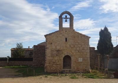
You begin the first stage of the GR 1 route in the Gulf of Roses, in (1) Sant Martí d’Empúries (0:00 - 11m). From the vantage point of Punta de Sant Martí you follow the white and red painted signs of the GR and cross the town. You leave Sant Martí d'Empúries heading southwest the and take the side road of the GIP-6307 road. You soon come off it and enter Aiguamolls de l'Empordà Natural Park. You walk along a very pleasant track that allows you to get a close-up look at the little layers of salt and the birds looking for food. You will reach the town of (2) Cinc Claus (0:35 - 7m), which is home to the small pre-Romanesque church of Santa Reparada (7th-9th centuries). You leave Cinc Claus heading past a barn with farming machinery. You take a path that heads southwest and on the right you go past the road that rises up to Armentera (N). During this stretch you enjoy very good views of the Canigó mountain (NW) and of the Montgrí massif (SE).
The path leads you to the GI-623 road, that you continue along until a roundabout. At this roundabout you take the diversion (SW) that provides access to (3) Viladamat (1:00 - 5m). You cross this town along the street Cinc Claus, Plaza de Catalunya and Calle de la Creu. If you have doubts, you should pay attention to the white and red GR signs. You leave the town behind and go through a tunnel under the C-31. The path goes through a pretty olive field and afterwards you enter an area of forest.
It does not take long to reach the scattered houses of (4) Palau Borrell (1:40 - 50m). At this point, you begin a more mountainous stretch. You head up a small valley that is formed by the mountain of Siurana and Sierra de Ventalló. Silence and peacefulness will accompany you along the way. Next to the path you will find plants such as kermes oak, rosemary, thyme, white and black rockrose and mastic. In the background, you can see fields of cereal crops and some banks that provide shelter for reptiles such as large lizards and the white snake. Beyond the fields, you can see forests of stone pine, white pine, holm oaks and some oaks.
You keep going in a clear southwest direction, following the Camí Vell de les Olives. On the right you pass the unnoticeable hill of Puig de Sant Pere (140m) and reach the road (5) GIV-6311 (3:10 - 119m). You walk for about 250m along this road until you take a path that emerges on the right (NW). Soon afterwards you cross the GI-631 and continue along a path that heads north towards the neighbourhood of (6) Puig de Valldevià (3:35 - 165m). At this point, turn to the left (W) and continue along a path to the beautiful area of (7) Pins (4:00 - 115m). You continue along the path heading northwest. You advance through several crop fields. Finally, you cross a bridge over the train tracks and enter the town of (8) Camallera (4:35 - 86m), the finishing point of the first GR 1 stage.
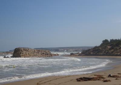
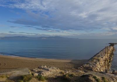
Having a swim in the sea before starting the walk, while observing the majestic snow-capped peak of Canigó mountain.
Allow yourself to get carried away by the peacefulness of nature and by the silence, walking along the trails and paths of Empordà.
Observe buzzards and other birds on electricity poles and the solitary trees found in the middle of crop fields.
The place name "Empordà" comes from the Greek Emporion? This word means “trading place”. In the 6th century BC, Greek traders from Phocaea set up a trading port in the south of the Gulf of Roses. As a result of its strategic setting as a doorway to the Iberian Peninsula, in the year 218 BC, during the second Punic War, the Roman army landed in Emporion with its troops. From that moment on, Emporion was under Roman control and over the years the Roman city of Emporiae was founded. It is really recommended to visit the archaeological complex, located a few metres from the start of the stage. (Further information: www.mac.cat/Seus/Empuries).
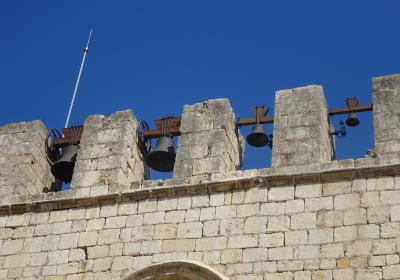
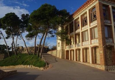
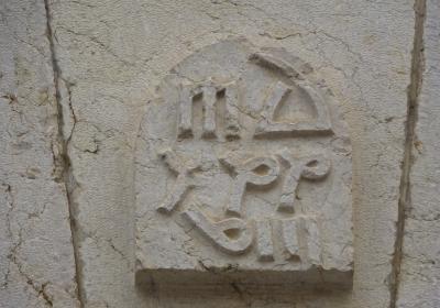
Having a walk through the beautiful walled town of Sant Martí d'Empúries. This town was the capital of the important district of Empúries during the 9th, 10th and 11th centuries and it has been declared a Cultural Asset of National Interest.
The route for this stage is very exposed to the sun. If you undertake the route during the summer months it is important to drink water often and protect yourself from the sun in order to avoid heatstroke. On days with a northern wind, it will accompany you throughout the entire stage.

