The ninth stage of the Trans-Pyrenees Crossing is one of the most admired and loved stages by the hikers that take on this adventure. Amid an atmosphere of sensational high mountains and a stretch between Ulldeter the Nuria, you will constantly find new and great surprises: the broad Marrana Hill, wonderful views in all directions, the ridge road between Tirapits and Noufonts Hill, mountains of over 2800m, the magical arrival at the sanctuary of Núria,... A high mountain journey that you will surely remember for a lifetime!
High (F). Stage without notable technical difficulties but that runs through high mountain terrain. If there are strong winds and/or there are clouds, pay careful attention, especially during the stretch of the ridge. In winter conditions, the technical difficulty of the stage increases considerably.
In winter and spring, you will encounter snow and ice at high altitudes.
Crampons and an ice ax depending on the time of year.
Capçaleres del Ter and Freser Nature Reserve 1:25.000. Editorial Alpina.
Ripollès. 01:50.000. Editorial Alpina.
Topographic base of Catalonia 1:25.000. Geological and Cartographic Institute of Catalonia (ICGC).
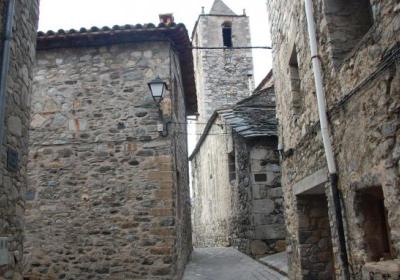
Let's start the ninth stage of the Trans-Pyrenees Crossing in the town of (1) Setcases (0:00 – 1,270m). Leave the village from its extreme north head up the valley of the River Ter using the road until the area known as (2) Pla de la Molina (1:10 – 1,588m). At this point you leave behind the road, that turns 180 degrees to the right and continues along a path that climbs along the Ter.
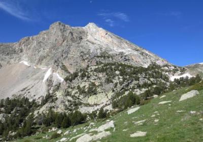
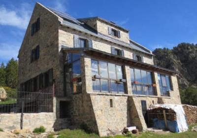
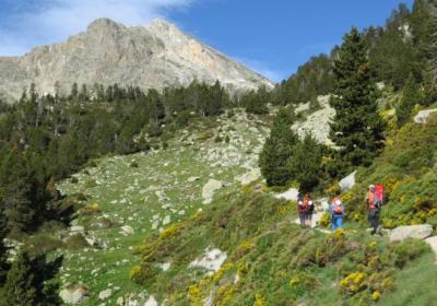
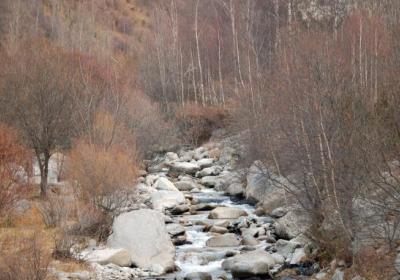
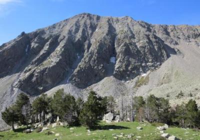
Return to the road along side the rear parking of the Vallter 2000 ski resort. But you almost immediately leave it again, always following the River Ter, climbing up a ravine until reaching the (3) Ulldeter Shelter (2:30 – 2,236m). From this shelter, property of the FEEC, take the GR 11 route, climbing the spectacular Ulldeter Cirque straight to the west. You will be in a spectacular high mountain area with stand outs like the beautiful Bastiments Peak (2,883m), just to the right (NW), Gra de Fajol Peak (2.712m) to the left (SW).
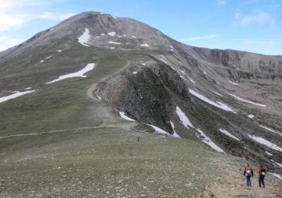
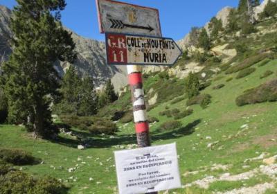
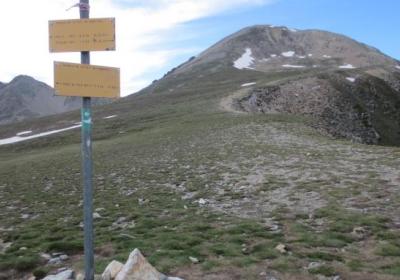
You will arrive at (4) Marrana Hill (3:00 – 2,529m) and the entire view of the Fresers Mountain Plain opens up. A path comes out of the hill (NW) that will allow you to ascend to Bastiments. You will also see a well defined path that crosses the gorge of the River Freser to Tirapits Hill (W), our next destination. Start walking in that direction. Soon you will leave behind to the left (S) a path that goes down to the Fresers Mountain Pass, a variant of the GR 11-7, which follows the "Camí dels Enginyers' and that also leads to the Shrine of Núria.
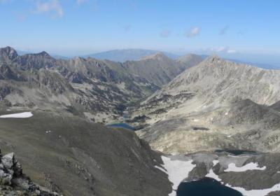
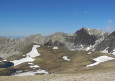
You advance to high mountain terrain. To your right there is a crest between Bastiments (2,883m) and Infern Peak (2,869m), which dominates the area. Go up the Barranques Stream and you will reach (5) Tirapits Hill (4:30 – 2,781m). Continue towards the west advancing through the frontier crest. Pass through the top of Vaca Peak (2,826m) from where you will have wonderful views of the lakes of Carançà to the north. You will reach Carançà Hill and continue until the peak of Fossa del Gegant (2,808m) and (6) Noucreus Hill (5:15 – 2,799m).
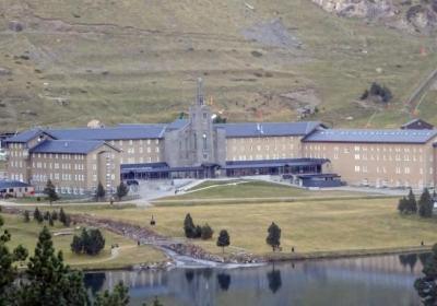
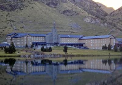
At Noucreus Hill leave the ridge path, which continues to Noufonts Hill and connects with the peaks of Olla de Núria, and take the path that descends directly from the Noucreus Mountain Pass and the Molleres Mountain Pass (7) to the Shrine of Núria (6:40 – 1,960m). Please note, if you spend the night in the Pic de l'Àliga refuge, before reaching Núria, approximately to the height of 2,080m, we can take a path off to the left and up to the mountains flanking the hostel.
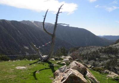
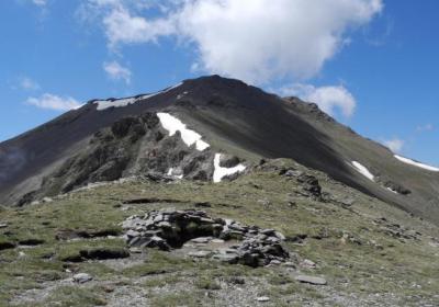
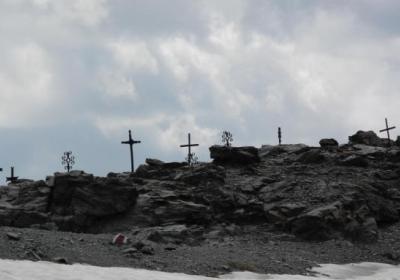
The views of the Carançà cirque that you will have from the ridge between Tirapits and Noucreus.
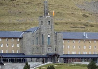
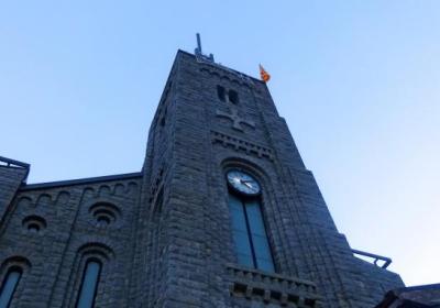
Visiting the sanctuary of Núria, located in an incomparable setting amid mountains of around 3000m.
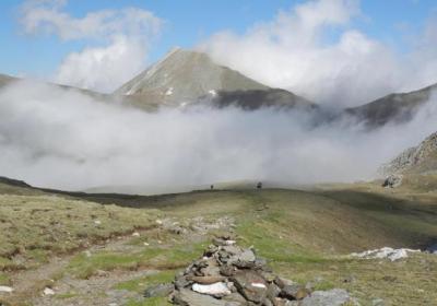
Reaching the Marrana Hill, which will surprise you with its width after the long climb in the Ulldeter cirque.
The old shelter in Ulldeter was one of the first open mountain refuges in Spain for hiking? The shelter was opened in 1909 and it had a beautiful pointed structure. It was later dynamited during the early years of the Franco regime. The current shelter is located 150m from the old one, which was opened in 1959.
Visit the shrine of Mary in Núria and walk through its surroundings. Núria is one of the great symbols of the Pyrenees and one of the most emblematic of the Catalan nation. The Virgin Mary of Nuria has always been linked to fertility and, according to legend, if you say a prayer with you head in the Sant Gil pot while touching the bell you will be fertile.
The variant GR 11-7 of the Trans-Pyrenees starts next to Marrana Hill: this variant takes you to the Shrine of Núria, where it rejoins the regular GR 11 route, passing by the so called Camí dels Enginyers. The GR 11-7 heads down the Freser mountain plains, passes by the Coma de Vaca refuge and flanks the Torreneules Peak on its southern slope. It is a hard, dangerous road only recommended for people with experience in the mountains.

