The fourth stage of the Transversal GR 1 route takes us from Banyoles, in the Pla de l’Estany, to Besalú, one of the most emblematic and well-known towns in Garrotxa and Catalonia. The first part of the stage involves a climb up to the Puig de Sant Martirià, offers magnificent views over the lake of Banyoles and the Pre-Pyrenees and Pyrenees. Afterwards, you cross an area of farming fields and arrive at the pretty town of Serinyà. After walking through the narrow streets of this municipality you continue the stage north and enter the district of Garrotxa. You arrive in Besalú crossing its spectacular fortified bridge, which was built between the 12th and 14th centuries.
Considerable Resulting from the distance to be travelled. This stage runs along tracks, paths and short paved stretches. There are frequent path changes, you need to pay a lot of attention at all the forks in paths you come across.
No special equipment needed.
Regional map of Catalonia 1:50,000 Alt Empordà - 02. Geological and Cartographic Institute of Catalonia (ICGC).
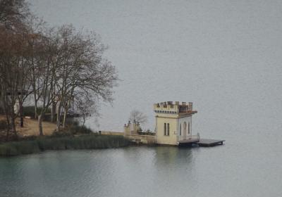
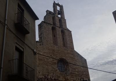
You begin the fourth stage of the GR 1 route in (1) Sant Esteve de Banyoles (0:00h - 167m). You should follow the white and red GR signs at all times. From the monastery you take Calle Nou, you pass the church of Santa Maria dels Turers on the right and continue along Calle de Sant Antoni until you reach a detour in Calle Sant Martirià. You walk along this street until the end and cross the Figueres road. The street leads onto a path, you pass the cemetery on your right and reach (2) Puig de Sant Martirià (0:35 - 242m). You will find yourself on a flat hill top that offers good views over the lake of Banyoles and the entire surrounding area. On the same hill, you can also see the remains of the old convent of Sant Martirià.
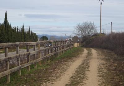
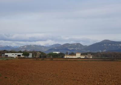
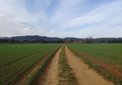
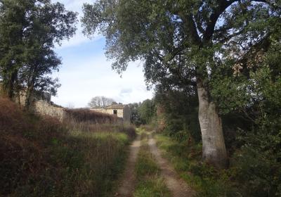
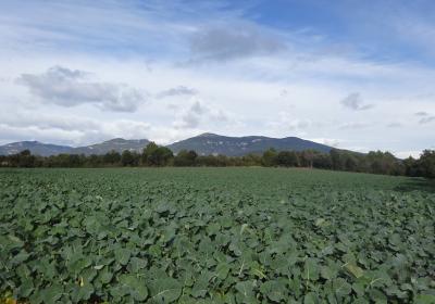
You go down the northern slope of the hill and cross the GIP-5121 road. You walk along the side of the road heading north. After 300m, at a crossroads, you turn left (NW) and continue along the paved path of Usall. You pass several houses and reach a bridge over the (3) C-66 road (1:15 - 232m). You go down to the extensive Pla de Martís where you can enjoy a very agreeable panorama view in every direction. Continue heading north until you reach a detour. At this point you take the path on the left (W) and pass alongside the abandoned Can Malloles country house. You reach a second detour: now you turn right (NW) and you enter a little forest. The path takes you to the stream in Serinyà and to the modern building of the information centre in the Serinyà Prehistoric Cave Park. You go along the side of the stream and enter the town of (4) Serinyà (2:00 - 183m).
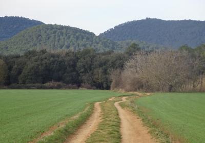
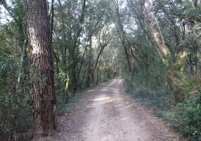
You cross this pretty area and leave it along Calle Joan Carreras. Pass the football pitch and head down a few metres into the forest. The path goes through a tunnel under the C-66, past the great house of Gatielles and continues along a paved path (N) until a bridge over the river Ser. A few metres after crossing the bridge, the GR 1 route leaves the path and continues along a path that crosses the Baió forests. You reach Pla de Can Roset and the ruins of the country house of (5) Can Roset (3:00 - 200m), which is surrounded by holm oaks and oaks.
Continue walking until the northwest extreme of Pla de Can Roset. Then you descend directly to the stream of Riera de Junyell, cross it and climb a few metres up to the C-66z road. At this point you need to pay close attention: although the white and red signs indicate the opposite, inviting you to turn left and head up the Junyell stream along a forest path, you should continue along the hard shoulder of the road for about 500m, until you draw level with an industrial plant located to the right of the road. At this point you turn left (S) and pass in front of the Town Council of (6) Sant Ferriol (3:45 - 200m).
You walk along a street heading southwest until you reach a crossroads where you turn to the right (NW). Return to using the white and red GR 1 signs. On your left you will pass Mas Martí and further on, you cross the forest of Can Candell. You enter the beautiful town of (7) Besalú (4:15 - 146m) crossing over the fortified medieval bridge.
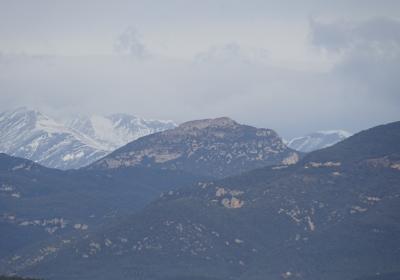
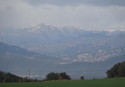
The views over the lake of Banyoles and the Pyrenees from the Puig de Sant Martirià.
The carpet of farm land in the Pla de Martís, surrounded by wooded hills and beautiful country houses.
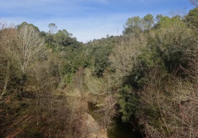
The arrival in Serinyà, along the winding route of the stream of the same name.
Entering the town of Besalú across its medieval bridge, an architectural marvel.
The Pla de Martís is a great farming plain located between the towns of Martís, Serinyà, Melianta and Centenys? This plain continues on naturally into the Pla d’Usall, making it the best farming area in the Pla de l’Estany. It is surrounded by woods of pine trees, oak trees and holm oaks and a series of springs fed by the same underground water system as the lake of Banyoles. The entire area is home to a great range of biodiversity that you can observe while you undertake the route.
The Serinyà Prehistoric Cave Park. Located next to the GR 1, this area houses an archaeological site that is very important for research and knowledge of how Neanderthals evolved into humans. The site is divided into three caves: Cueva de la Arboleda, Cueva de Mollet and Cueva del Reclau Viver. (For further information: www.plaestany.cat / 972 573 550)
Part of the rout of this stage is quite exposed to the sun. If you undertake the route during the summer months it is important to drink water along the way and protect yourself from the sun in order to avoid heatstroke.

