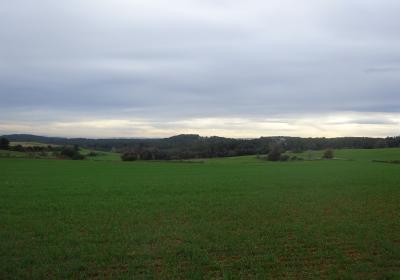
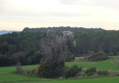
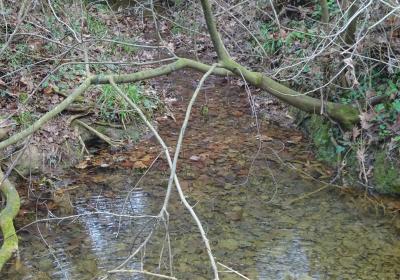
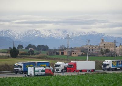
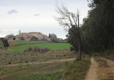
A transition stage that is characterised by gentle and rolling slopes. The second stage of the Transversal GR 1 route takes you the town of Llampaies, with its well-tended vegetable gardens, and you can enjoy the cool ravine of the stream of Llampaies, where a beautiful riverside forest grows. The large electricity pylons and the intersection of two large road infrastructures (AP-7 and N-11) does not detract from the charm of the town of Orriols and its magnificent castle. This spot allow offers good views over the Montseny massif (SW) and the Mont mountain (NW), with its sanctuary perched on top, it served as the temporary residence of the great poet Jacint Verdaguer. The constant presence of tractors and heavy farming machinery is a reminder that farming continues to be a very important economic activity in the area.
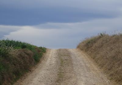
Considerable This stage presents no technical difficulty at all (it runs along trails, paths, and some paved stretches) however it is of a considerable length and you should pay attention at each fork in the route, in order not to lose the correct path.
No special equipment needed.
Regional map of Catalonia 1:50,000 Alt Empordà - 02. Geological and Cartographic Institute of Catalonia (ICGC).
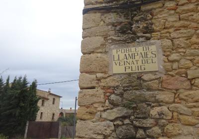
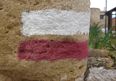
You begin the second stage of the GR 1 route in the town of (1) Camallera (0:00h - 86m). You follow the white and red paint signs for the GR and leave Camallera, heading west and taking going along Calle de Sant Sebastià and Calle Santiago Rusiñol. You pass by the cemetery and the path is soon next to the GI-623 road. It does not take long to reach the pretty town of (2) Llampaies (0:35h - 120m). You continue the stage towards the next neighbourhood of Els Masos, stopping for a moment to admire the magnificent vegetable garden of Can Puó, which is protected by a dry stone wall, that separates it from the path.
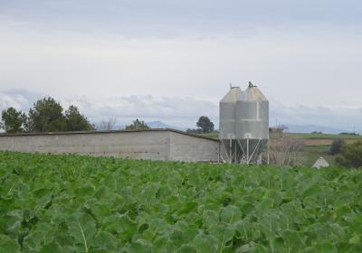
You continue walking among crop fields which, in turn, are surrounded by the pine trees and holm oaks of the forest of La Torre. You will reach a point where the path heads into a forest. Turn off on the left and you will pass under an electricity pylon. You then go down to the bottom of the valley of the stream of Llampaies. Now, you head through a pleasant riverside wood. You recover the altitude lost and go past the second electricity pylon on your left You leave the forest and head towards the country house of Can Casadevall. If you do the route during winter, you will see the fields surrounding the country house with Kale cabbage, which is highly valued.
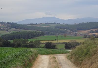
A change in ground level offers you marvellous views of the entire region and the mountains in the surrounding area: the massif of Montseny (SW), with the unmistakeable tip of Les Agudes, the massif of Canigó, the Costabona, the mountains of Ulldeter, ... You descend a slope down to the (3) AP-7 motorway (1:25 - 115m), which you cross through a tunnel. A mark in yellow pain is a reminder that this stage follows the same route as the popular Way of St James. After crossing the motorway, the path climbs gently towards the northwest. You leave behind Can Garriga on your left and soon reach the town of (4) Orriols (1:40h - 142m). You cross this town along its main street, passing its lavish Renaissance castle on your right. You leave the town, turn to the left, and go down to the N-II motorway. Head south along this road for about 100m, until you cross it and access (ascending) the GI-513 road.
You walk 300m up the GI-513 road in a southwest direction until you leave it. You now go along a track that passes alongside Ca n’Onofre. At this point you enter the district of Pla de l'Estany. You cross the GIV-5141 road and walk a long stretch of path between crop fields and some forests before arriving at (5) Mas Silet (3:00 - 196m). At this point, you take the GIV-5132 road which you walk along for approximately 2.4 km. You leave the road close to kilometre point 6 and take a path that leads you to (6) Veïnat de Can Dalmau (4:00h - 186m), the finishing point of the second stage.
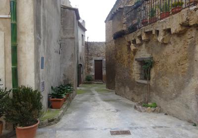
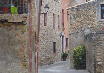
The charm of the houses of Llampaies with their well-tended vegetable gardens.
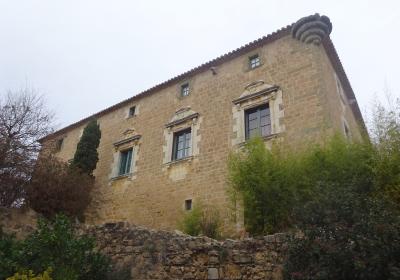
The majestic castle of Orriols, one of the few examples we find in Empordà of Renaissance civil architecture.
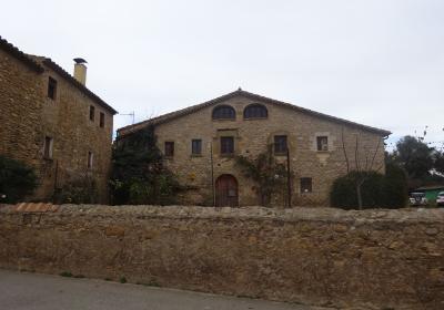
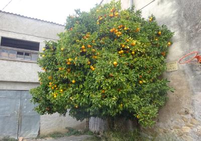
The abundance of pretty houses that we find along the stage.
The name Orriols comes from the Latin Horriolis? This word means “granary” and reminds us of the importance of farming activity in the area. During the 1st and 2nd centuries D.C, all of this area was particularly used for the production of grain, one of the three components of the Mediterranean triad: wheat, olives and vines (bread, oil and wine). The province of Hispania was literally considered to be the granary of Rome and supplied food to the Roman legions stationed on the northern borders, who were always beleaguered by Germanic tribes who threatened the Empire’s security.
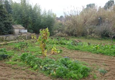
The pretty vegetable garden of Can Puó, is located on a very sharp bend that the path takes between Llampaies and the neighbourhood of Els Masos. Well protected by a dry stone wall, this food garden produces excellent seasonal fruits and vegetables. Can Può is an example of the small privately owned vegetable gardens that the majority of houses and country houses in the area possess.
The route for this stage is very exposed to the sun. If you undertake the route during the summer months it is important to drink water often and protect yourself from the sun in order to avoid heatstroke. On days with a northern wind, it will accompany you throughout the entire stage.

