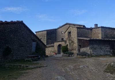
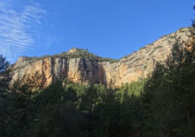
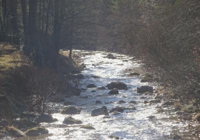
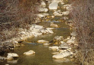
This is an epic stage of the Transversal GR 1 route during which you go over two hills and cross three rivers: The Aigua d'Ora, the Aigua de Valls and the Cardener. The latter acts as the backbone for the marvellous Vall de Lord. Some points of this stage offer panoramic views, although it is also characterised by a lot of forest: you walk in the shade of pinewoods in the shady party and through holm oaks and majestic oak trees in the sunny areas. In turn, boxwood, juniper and stinking hellebore, which thrive so well in chalky soils, cover the undergrowth. Also, you should not forget about the riverside woods, filled with linden, alder, poplar and willow trees, or the unforgettable views from the summit of Cap de Balç. As if that was not enough, you end the day walking through the narrow medieval streets of the town of Sant Llorenç de Morunys.
Considerable. Due to the distance and ascent to overcome.
It is advisable to bring binoculars in order to watch large and small birds of prey.
Vall de Lord - Port del Comte 1:25.000. Edició 2015. Editorial Alpina
The fifteenth stage of the GR 1 stage begins just behind the hermitage of (1) Sant Lleïr (0:00h - 765m), the epicentre of the bucolic Vall d'Ora. You follow the white and red GR signs and begin heading up the valley, in a northwest direction. You will soon go past a detour on your left for the monastery of Sant Pere de Graudescales. Continue your route. You climb up to the panoramic Els Presidents vantage point and follow the shady streams that are tributaries of the Aigua d'Ora river. Following a nice meander of the watercourse, you pass the Molí de Bancell, cross the river and you will arrive at (2) the bridge of Llinars (1:30h - 881m).
Your cross the LV-4241 road -which links Sant Llorenç de Morunys and Berga- and continue north along a paved path that heads up the valley of the Aigua d'Ora river, which, in its upper course, is named Aigua de Llinars. You pass the Aigua d’Ora camping sit, and then go past the detour on your right that leads to the town of Llinars. You gradually climb up the sunny side of the mountain until you reach a paved path, which you take towards the left. You will not take long to reach (3) Cal Timó Nou (2:30h - 1.119m). At this point, you leave the paved track, which continues on into the abandoned town of Sisquer (0:05h), where the Romanesque hermitage of Sant Esteve de Sisquer and the old house of Timó really stand out.
From Cal Timó Nou you descend Sisquer mountain to the bottom of the valley. You cross the (4) Aigua de Valls River (3:10h - 851m) over a bridge. The path avoids the old Molí de Cal Riu, it goes round a large field and continues along a narrow road that climbs up to the sanctuary of Puig Aguilar. You pass a fountain and afterwards a sharp turn, before heading into Obac de la Corriu, an impressive pine forest. You change slope and gradually follow the stream of La Foranca. If you look closely, you will be able to observe a colony of common vultures on the crags above; you can locate them by looking for the white stains of their excrement on the rock face and on the ledges.
You leave the road of the sanctuary and go up a paved path to la Corriu. You go along the side of the church of Sant Martí de la Corriu and keep going up. From time to time you will come off the track and do the odd stretch on the old path, which serves as a shortcut. You pass Cal Paraire and then tackle the last stretch of the climb, which is much more gentle, until you reach (5) Cap de Balç (5:10 - 1.410m), the highest point of the stage. You take a detour a few metres off on the left (S) until coming to edge of the cliff. The views over Vall de Lord from this spot are sensational!
Head back onto the route and begin a long descent through the wood, heading west. First you go along a track and then take an old bridle path that descends in loops. The descent is sharp. You cross the ravine of the stream of La Barata and pass the beautiful sport where the hermitage of Sant Lleïr stands, surrounded by holm oaks and century-old oak trees. Head down to the course of the (6) river Cardener (6:20h - 813m), which you cross via a bridge, and go round the country house and hotel of Monegal. You head up towards the gateway of Era Nova and continue towards the plaza of the Church and the Canal Gate in the centre of the town of (7) Sant Llorenç de Morunys (6:40h - 924m), the end point of the fifteenth stage.
The views of the Vall d'Ora from the Els Presidents vantage point, with the beautiful monastery of Sant Pere de Graudescales surrounded by woods and crags.
The century-old oak trees of the mountain of Sisquer.
The great views that you get from Cap de Balç: the mountain of Els Llengots, Els Bastets, Cogul, the reservoir in Llosa del Cavall, ...
The charm of the narrow medieval streets of the walled quarter of Sant Llorenç de Morunys.
Sant Llorenç de Morunys is also known as Sant Llorenç de los Piteus? A piteu was a white, black or blue cloth that in the past was produced in lots of homes and little workshops in the city of Sant Llorenç de Morunys, hence why the town is renowned for them. Piteus were used above all to create baby shoes, layers for shepherds and muleteer’s blankets.
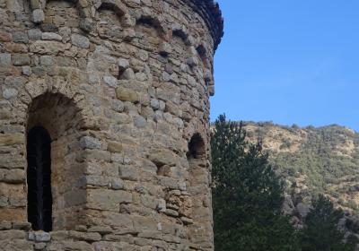
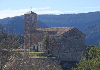
Visiting the Romanesque monastery of Sant Pere de Graudescales, an architectural gem from the 11th century that is located in a place of great natural beauty and spiritual strength. The complex was restored between 1956 and 1958 by the regional governments of Lleida and Barcelona and it is declared a Cultural Asset of National Interest. In order to visit the monastery, it is necessary to take a detour off the basic GR 1 route (30min round trip). It is highly recommendable!
This stage is long and there is a considerable ascent. We recommend getting up early if you do want to reach Sant Llorenç de Morunys in the dark.


