Carros de foc
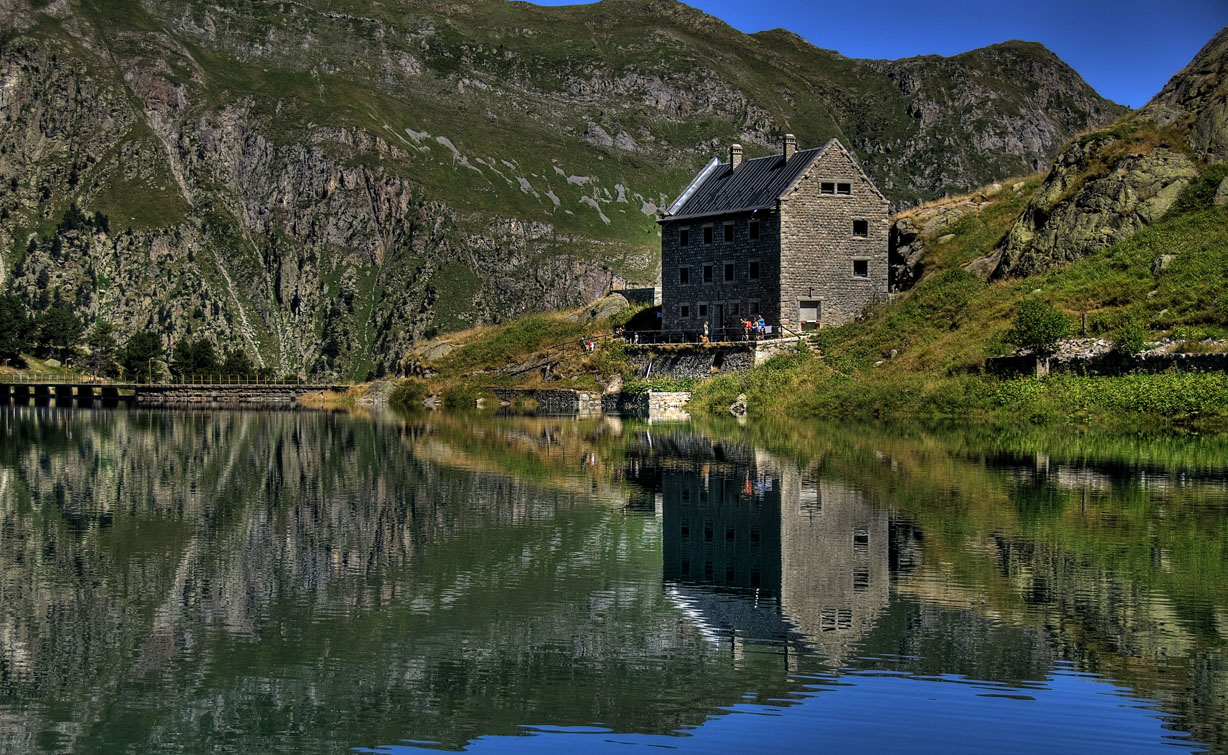
The refuges are located at an altitude of 1900 - 2400 metres, and the highest point reached on the itinerary is Contraig Pass (2475m). Five to seven days are required to complete this route.
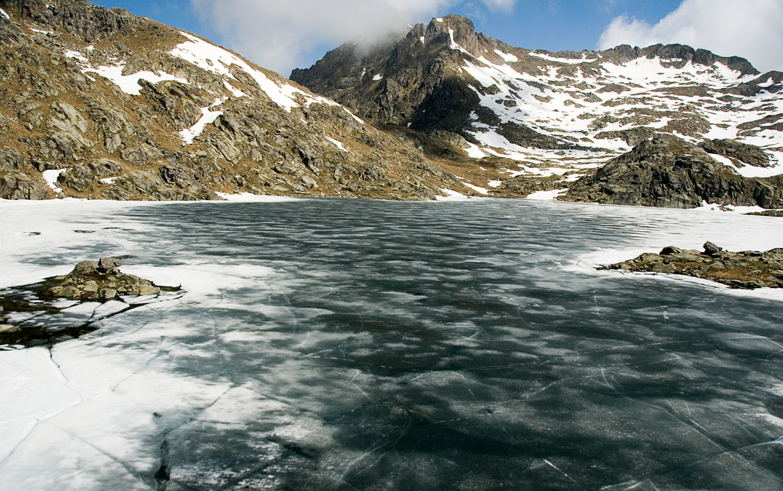
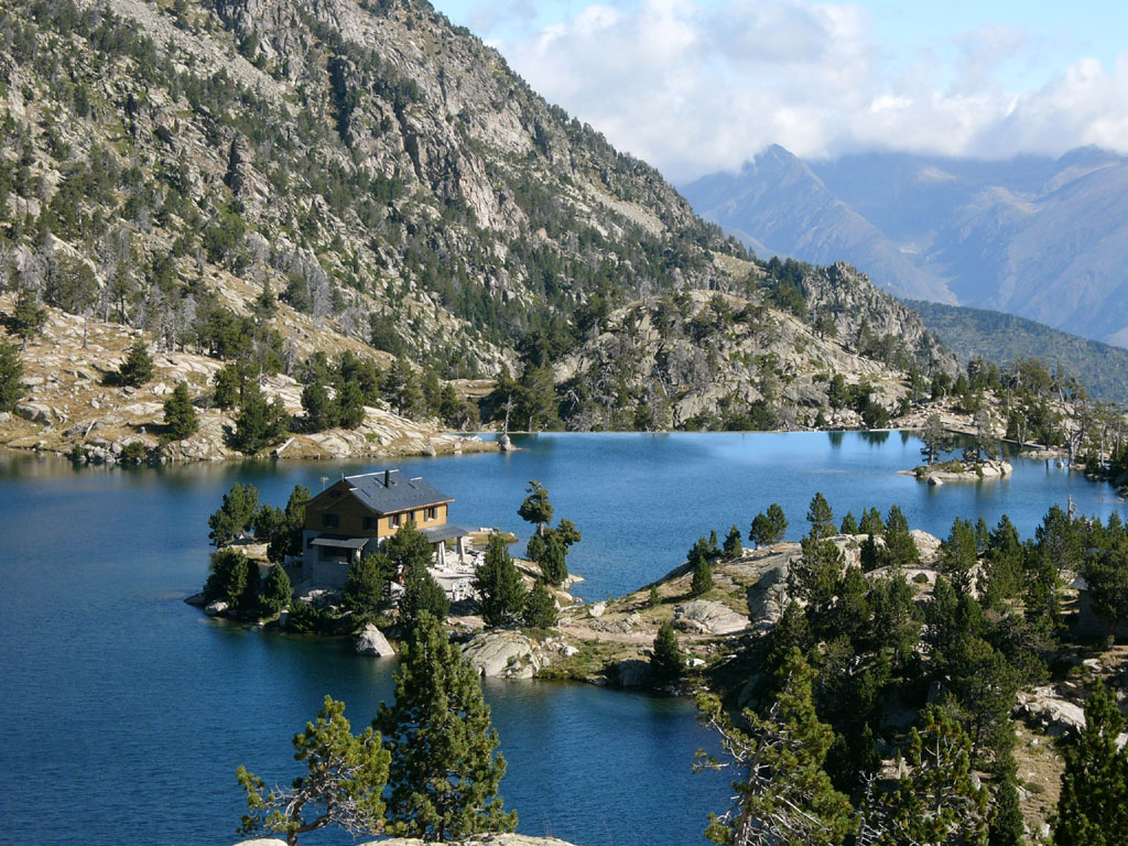
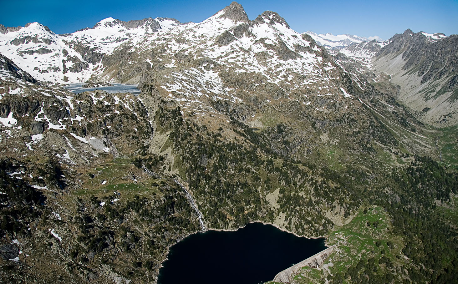
Not to be missed: numerous natural lakes along the way.
Fact file:
Route length: 55Km
Cumulative elevation gain: 9200m
Route type: circular
Best time of year for this route: summer months
Informació tècnica
Route type
Senderisme - Rutes temàtiques
Distance
55,00
Total ascent
9.200m
Contact
Avda. Pas d'Arro, 40 baixos · 25530 Vielha
T_0034 973 640 698
(cal fer reserva prèvia)
Image gallery