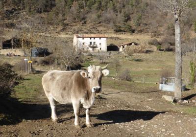
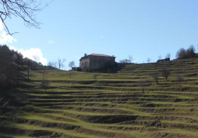
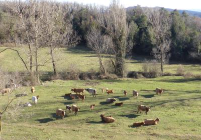
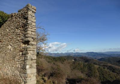
The ninth stage of the GR 1 Transversal Route begins in the historic town of Ripoll. From Ripoll, you climb the sunny slopes of El Catllar, walk through the beautiful woods of the valley of Les Lloses and continue the journey to the town of Alpens, in the district of Lluçanès. During this stage you can enjoy views of pretty partially mountainous landscapes, you walk past nice country houses and have the chance to visit some hermitages of Roman origins that have lots of charm. The stage begins in the district of Ripollès and ends in the natural sub-district of Lluçanès, on the edges of the Catalan Central Depression.
Considerable Due to the length and ascent to overcome
No special equipment needed.
Catllaràs-Picancel 1:25.000. Editorial Alpina.
Lluçanès 1:30.000. Editorial Alpina.
Ripollès Itinerànnia 1:50.000. Editorial Alpina.
Topographic base of Catalonia 01:25,000. Geological and Cartographic Institute of Catalonia (ICGC).
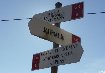
The ninth stage of the route begins in the plaza of the Town Hall in (1) Ripoll (0:00 - 807m). You leave the old quarter of Ripoll at its southern extreme and cross the Freser river over the Arquet bridge. You continue south along the Barcelona road towards Torre Illa, at which point you turn right. (W). A few metres further ahead you cross the C-17 road using an underpass. You leave the town centre behind and begin the ascent. You go along a forest track -among fields and woods- until you reach the (2) hill of Remei (0:35 - 755m). From this hill you follow the white and red GR 1 signs and continue along a path (SW). You pass alongside the hermitage of Remei and the fountain of Remei. It does not take long to reach the neighbourhood of (3) Remei and Els Brucs (0:50 - 810m).
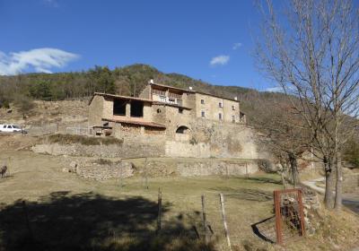
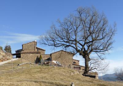
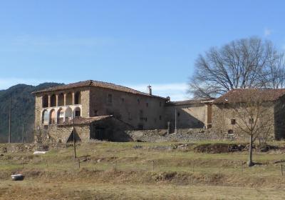
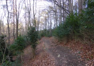
From this group of houses, you continue the stage westward. You go past some detours and head into the forest of Els Solells del Puig de Vallespirans. The path descends gently until you come across the (4) stream of Vilardell (1:20 - 789m), where water has eroded away the land, sculpting several pools and small waterfalls. Cross the stream and continue along the path, which then climbs again, up to the (5) country house of Vallespirans (1:35 - 876m). You have entered Les Lloses, the largest municipality in Ripoll, very mountainous and basically covered in forest. Les Lloses covers both sides of the road that links Ripoll and Bega and its woods are very well-known and highly valued by people that love collecting mushrooms. The population is really scattered around the area, in neighbourhoods and country houses, such as the one in Vallespirans.
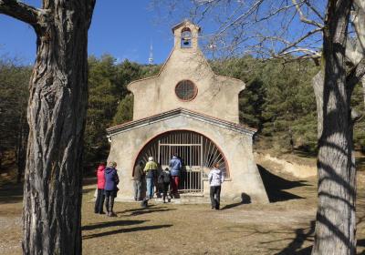
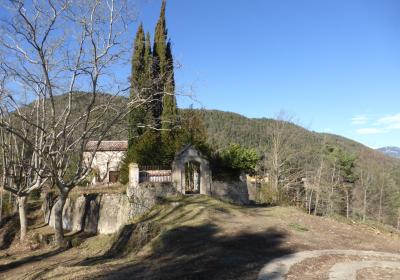
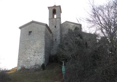
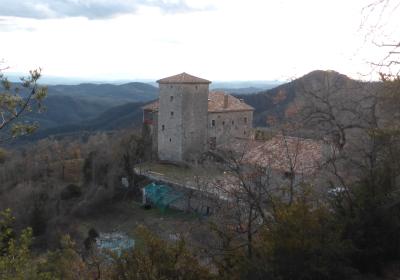
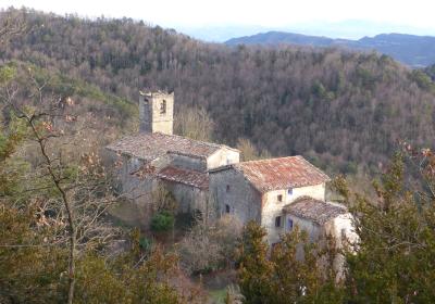
You will soon reach Sant Esteve de Vallespirans, a small hermitage of Roman origins, although it was subsequently modified, in the 18th century. You continue along a path, and without descending, you will arrive at Rec de la Font del Peral. Cross the stream and you begin a long descent that leads to the (6) C-26 road (2:35 - 797m). You head along the road (S) for about 600m until you reach the (7) country house of Cremat (2:40 - 861m). At this point you leave the road and continue along a path that follows the course of the stream of Sovelles until the house of (8) Pinoses (3:05 - 852m).
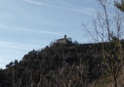
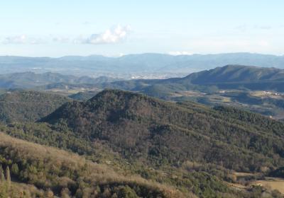
On the shaded slope of the mountain you will find beech forests with ivy, while oak and boxwood trees are found in abundance in the sunnier areas and slopes. You now tackle a long stretch heading south until the complex of (9) Sant Martí de Vinyoles (4:05 - 1.032m). On your left hand side, you go past the country house of Portavella and climb to the Collet de la Baga. From the hill, you go around the summit of Santa Margarida de Vinyoles on its northern slope and arrive at the hermitage of (10) Santa Margarida de Vinyoles (4:25 - 1.195m). You will find yourself in a beautiful place that offers beautiful views towards the south: the mountain of Bellmunt, Guilleries, Plana de Vic, the Llisa de Sora plain, Els Munts and Serrat de les Ginestes, the plateaus of Lluçanès and in the background Montseny, and even, Montserrat. The hermitage of Santa Margarida de Vinyoles dates from the 13th century, although the current building was rebuilt in 1854 following a cholera epidemic. It is believed that the hermitage was the old chapel of the now-disappeared castle of La Guàrdia, which stood just below the hermitage.
You leave the hermitage behind and go along the hillock of the Serrat del Castell to the (11) hill of Tallat (4:45h - 1.139m), where you will find a crossing of tracks and paths. From the hill it is really recommendable to take a momentary detour and climb up the panoramic Puig Cornador (1.228m), from where you can enjoy sensational views of the peaks of the eastern Pyrenees: Torreneules (2713m), Bastiments (2881m), Balandrau (2585m), Taga (2040m), ... You continue the route heading S-SW, going down through red pine woods and oak groves. You pass the abandoned country house of Puig-empí and continue descending to the Rec de Matamosses. From this point and until the outskirts of Alpens, the end point of the stage, the GR 1 runs along the valley of Matamosses. Close to the country house of Torrats you take a path that leads to the town of (12) Alpens (5:35 - 855m).
Alpens forms part of Lluçanès, a plateau located between the districts of Berguedà, Bages and Osona, between the Pre-Pyrenees and the Central Depression. It is characterised by its gentle and undulating relief, with a pleasant landscape that also has wild areas, comprised of pine forests, holm oak woods and oak groves in the higher parts, and crops and small towns in the plains.
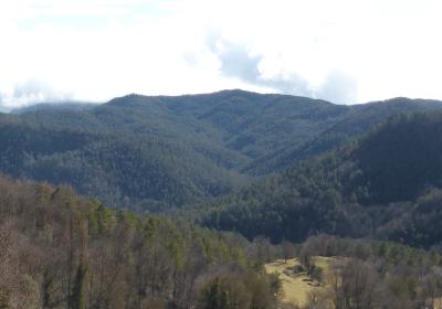
The beautiful forest landscapes of Les Lloses and agro-forestry mosaics of Lluçanès.
The marvellous views that you can enjoy from Santa Margarida de Vinyoles and from Puig Cornador.
Discovering the historic places where the famous Battle of Alpens took place.
Alpens was the setting for one of the most important wars between Carlists and Elizabethans during the Third Carlist War? The so-called battle of Alpens took place on 9 and 10 July 1873 and ended with victory for the Carlist troops and the death of the head of the liberal Republican army, the brigadier Josep Cabrinetty.
The sensational woods of Les Lloses, appealing throughout the entire year: in autumn, these woods are a paradise for mushroom collectors; in winter, they are filled with mosses and the red flowers that are characteristic of this time of year; in spring you cannot miss out on the really pleasant wet meadows, and in summer the same meadows are filled with a large range of orchids.

