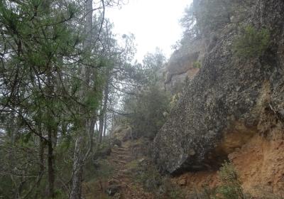
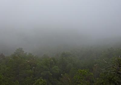
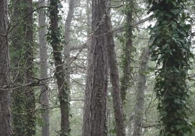
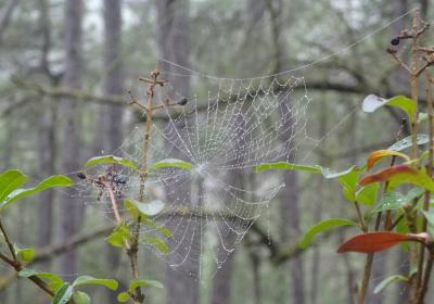
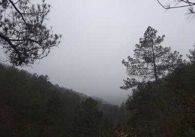
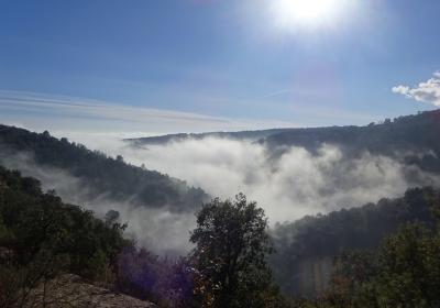
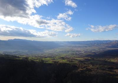
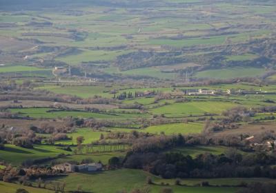
A long and largely forested stage which crosses through a varied and largely unknown territory, comprised of a labyrinth of ranges, cliffs and streambeds that are tied together by the Rialb River. Reaching the Grau de Moles provides stunning views in all directions. It is also a natural pass that connects la Noguera with the Pallars Jussà. During the final stretch of this stage, there is a lovely descent beneath the magnificent cliff face of Roc de Benavent – habitual dwelling place for a colony of vultures – to the little village of Benavent de la Conca, and finally a gentle ascent to the coll de Comiols, a strategic and historic mountain pass between the Segre River valley and the Conca de Tremp.
Considerable. Derived from the distance and ascent to overcome.
We recommend carrying a pair of binoculars for observing both small and large birds of prey.
Topographic map of Catalonia 1:25,000. Oliana - 62. ICGC Institut Cartogràfic i Geològic de Catalunya.
Topographic map of Catalonia 1:25,000. Montsec de Rúbies - 61. ICGC Institut Cartogràfic i Geològic de Catalunya.
Begin the eighteenth stage of GR 1 in the small village of (1) Pallerols (0:00 - 808 m). Descend for a stretch along the flatlands of the Pallerols fountain, following the white and red GR trail markers. Soon you will turn off to the right (W) alongside lovely the Bosc de les Bòfies. You will reach the top of a hill and descend to the out-of-the-way Cal Tomàs ravine. Cross the ravine and begin ascending the south-facing slope (SW) until you reach the crest of the mountain. The path turns to the right (NW) and begins to descend. Soon you will reach the banks of the Rialb River.
Follow this lovely watercourse to the North, enjoying the gorgeous riparian forest that borders it, and accompanied by the singing of countless birds that come to the river for water and food – for example, the kingfisher. On the other bank of the river, you will see the fish farm Molinou. Continue along until you reach the Cal Metge farmhouse and the (2) bridge over the Rialb (1:50 - 485 m). Cross the river and take the paved track that climbs up the Maçaners ravine to the (3) Massanés farmhouse (2:35 - 653 m). From the farmhouse, the stage continues along a track that ascends to the ridgeline toward the NW. You will pass a number of other tracks turning off to both sides, which provide access to some houses and fields. Continue through the higher areas of the mountain, called the serrat de Turpí in this section. You will have good views of the serra d’Aubenç, the Port del Comte, and even Cadí.
Continue walking along the serra de Turpí toward the N until you reach a fork in the path. At this point, take the track to the left (NW) and descend until you reach the Gavernera ravine. Cross the ravine and begin ascending (W) toward the Grau de Moles. Pass the cutoff that leads to the Gavernera house (in ruins) and continue climbing. Leave the track behind and continue a few final meters on a narrow path that will lead you to the (4) Grau de Moles pass (3:50 - 1,216 m). The view from this natural mountain pass are unforgettable! You will see the Conca Dellà and Conca de Tremp below, flanked by countless ridges, peaks and passes. It is worth highlighting Montsec, the serra de Gurp, the Turbón, the cliffs of Sant Gervàs, Sant Corneli, Montsent de Pallars, Cap de Boumort and the limestone walls of Carreu.
Descend from the pass toward the SW, sheltered by the sandstone of the Roc de Benavent, a spectacular cliff face oriented toward the West. The descent is magnificent and serves as a wonderful entry to the Pallars Jussà. You will arrive at the base of the cliffs and the village of (5) Benavent de la Conca (5:00 - 995 m). Cross the village and make a final effort to reach the (6) coll de Comiols (6:00 h - 1,100 m), the endpoint of this stage.
The silence on the barranc de Cal Tomàs, broken only by the song of tits, blackbirds and woodpeckers.
The Rialb River and the riparian forest that runs along it, with impressive poplar trees.
The marvelous panoramic views from the Grau de Moles mountain pass.
The spectacular cliffs of Roc de Benavent.
70 million years ago, when the Pyrenees were just beginning to form, the river basins of Tremp and Dellà – which are easily seen from Grau de Moles – were very different? As opposed to rolling fields, forests and foothills, water covered nearly all of the terrain, it was a lot hotter, and dinosaurs inhabited the entire zone. The Cretaceous Park at the Conca Dellà Museum offers the possibility of visiting various paleontological dig sites, and dinosaur egg fossils are on display. (For more information, see: www.pallarsjussa.net).
Exploring the course of the Rialb River. The river is an important tributary of the Segre and it offers up marvelous spots such as the Forat de Bulí, the Tarabau castle or the torrent de Gavarra.

