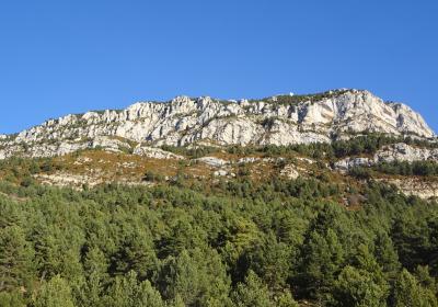
The sixteenth stage of the GR 1 route begins in the picturesque walled town of Sant Llorenç de Morunys. We begin the day with the demanding ascent of the Coll de Jou. From there, we start the long panoramic walk along the flank of the south-facing slopes of the Port del Comte massif. We pass Cal Pubilló, the La Perdiu stream, the Canalda wash, to arrive at the little hamlet of Canalda. During the final stretch of this stage, we climb up to the panoramic viewpoint of Tossal de l’Anella and then descend to Sant Martí de Cavallera.
Average. Derived from the distance and ascent to overcome.
We recommend carrying a pair of binoculars for observing both small and large birds of prey.
Vall de Lord - Port del Comte 1:25.000. Editorial Alpina
We begin the sixteenth stage of the GR 1 in (1) Sant Llorenç de Morunys (0:00 - 924 m). Leave behind the village following the GR white and red markings along road number LV-4241, that connects Solsona and Sant Llorenç de Morunys via the Coll de Jou and Lladurs. After kilometer mark 31, leave the road and turn off along carrer del Santuari. Soon you will reach the lovely Romanesque hermitage of (2) Sant Serni del Grau (0:30 - 1,045 m). Continue along the itinerary, past Cal Pasqual. From here, the valley narrows and we enter the most demanding stretch of the climb to the Coll de Jou. The trail takes us to torrent de les Salines watercourse. Follow it upstream along the orographic right bank. Keep going along the south-facing side of the cliff, and after a few switchbacks on a steep slope you will arrive at the (3) Coll de Jou (1:35 - 1,460 m).
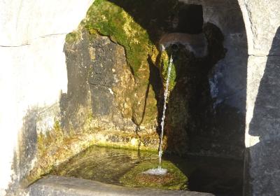
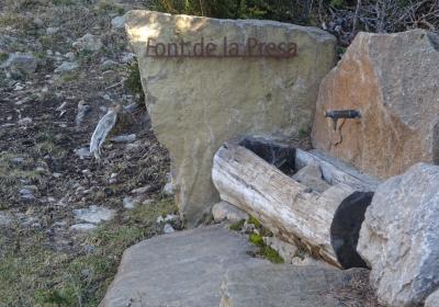
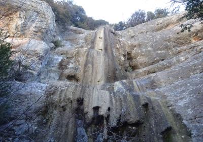
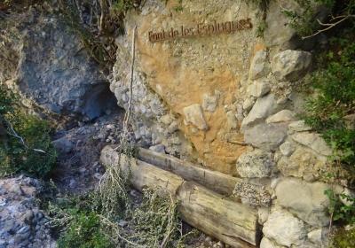
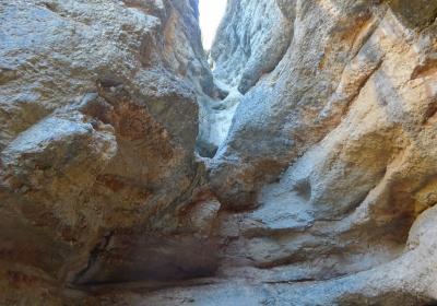
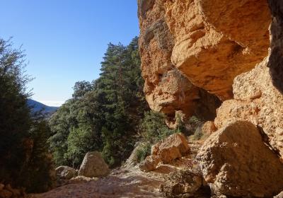
From the pass, continue this stage along road number L-401, which heads toward Cambrils. You will pass in front of the Coll de Jou fountain, highly regarded for its water. Continue along the edge of the rasa del coll de Jou and immediately you will move off the paved road, turning onto a path that breaks off to the left. This path alternates stretches along narrow paths and tracks and it follows along below road number L-401. Follow the outline of the Serrat de la Terma and continue alongside a stream to reach Cal Pubilló. He you will follow along another low-lying range until you come to the next stream bed. Turn to the North, passing Les Esplugues on your right, a series of caves used for shelter by shepherds (you can still see the dry stone walls used as pens for livestock). Coming suddenly on the pretty waterfalls that plunge from the sedimentary rock cliffs, pass alongside the font de les Esplugues and cross the (4) torrent de la Perdiu (2:05 - 1,260 m). We recommend stepping off the trail for a minute to get a closer look at the lovely salt de la Perdiu.
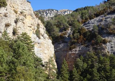
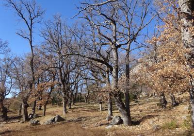
This stage continues along the south-facing side of the cliff, coming over another crest. You will arrive at the riera de Canalda, which can be crossed at the stream crossing. Now walk toward the South, crossing the lovely oak grove in la Devesa de Can Prat. You will pass the house called Can Prat and emerge onto a paved track. Follow it to the left. Straight away, turn to the right onto a less clear path that makes its way between large oak trees. Keep your eyes on a utility pole, which will serve as a point of reference and pass the houses in the hamlet of Canalda, to your left. Ascend over a few meters to pass the eight streams of Junyent. Continue ascending until you reach the Tossal de l'Anella, which will give you a view of most of path you’ve just covered. From this point you will follow the outline of the Clot de la Coma, descending gently to reach a pond, some potato fields and finally the village of (5) Sant Martí de Cavallera (3:35 - 1,225 m), the endpoint of the sixteenth stage.
The bucolic landscape surrounding the Romanesque hermitage of Sant Serni del Grau.
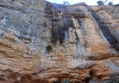
The dramatic and spectacular Roca de Canalda, a gathering point for climbers from all over the world.
Discover the caverns in the area, and visit coves and waterfalls.
Although the caves in Roca de Canalda were used as shelter beginning in prehistoric times, it wasn’t until the 18th century that the first houses were built there? Of all the buildings, the best-preserved is Cal Llop, known later as Cal Cavallol and, today, as Ca la Rita, in honor of its last inhabitant. Rita had a rifle in the case of any unexpected visits and a garden where she grew lettuce, tomatoes, onions, cabbages and potatoes. She also had goats and a fountain. When she was more than 80, she went to live with her family in Solsona, where she lived out her final days.
Exploring the La Perdiu stream and visiting the caves (les Esplugues). Different coves have been used for shelter by shepherds and livestock as far back as anyone can remember. We can still see the traces of campfires on the cave ceilings and ashes on the ground. It is also worthwhile to see the picturesque Salt de la Perdiu, a little canyon carved into the sedimentary rock by the water.

