The twenty-first stage of the GR 1 Transversal Trail runs along the border between the Pallars Jussà and the Noguera. From the coll de Comiols, which separates the serra de Comiols from the Serra del Roc de Benavent, you will walk to the sanctuary of Bonrepòs, one of the main focal points for this stage. Descend to the Coma de l’Espinal and then you will begin the most strenuous ascent of the day, to the very top of the serra del Cucut, a point which provides magnificent views. During the final stretch of the stage, you will descend toward the Hostal Roig, an old inn located on the pass between Montsec de Rúbies and the serres de la Campaneta and Comiols.
Average. Derived from the distance and ascent to overcome. This stage is not technically difficult.
None in particular.
Topographic map of Catalonia 1:25,000. Institut Cartogràfic i Geològic de Catalunya (ICGC).
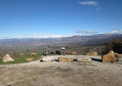
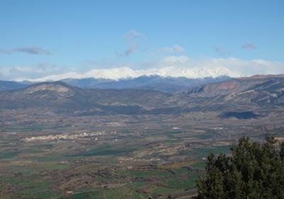
We begin the twenty-first stage of the GR 1 at the (1) coll de Comiols (0:00 - 1,101 m), a historic passing point that connects the Pallars Jussà with the Noguera. Road number C-1412b goes through the pass (which connects Tremp with Ponts and Artesa de Segre), as does road number L-911 (which leads to Sant Salvador de Toló). At the coll de Comiols there is an overlook which provides impeccable views of the Conca de Dellà, the Conca de Tremp, the serra de Carreu, the serra del Boumort, Sant Corneli, the Roc de Benavent, and the Pallars mountains. Begin walking along a gravel track that ascends toward the SW. You will pass a number of forks and cross under two power lines. Walk along the crest of the serrat de Comiols toward the SW until you reach a narrow path that descends to the right (W). Cross a forested section until you arrive at (2) road number L-911 (0:45 - 1,031 m).
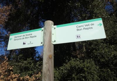
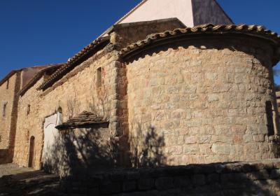
Follow the road to the left (W) for about 250m. Pass the first track that breaks off to the left and follow the next track, also to the left, which rises slightly. The track will turn slowly toward the left until it takes on a clear direction toward the SW. It will not be long before you reach the (3) Bonrepòs sanctuary (1:10 - 1,051 m), which is thought to have originated with an old hermitage that was built at the behest of the nobleman Arnau Mir de Tost in the 11th century, after the territory was taken back from the Muslims.
You will pass between the sanctuary’s buildings and continue toward the SW. Descend to the Creueta ravine, where the track turns to the left (S) and crosses under another power line. Soon you will reach a 180º turn, which you should not take. Instead, follow the track that continues to the S-SE, descending through some switchbacks to a field. This is the lowest point in the stage, at the bottom of a valley known as Coma de l’Espinal. Cross to the other slope of the valley and take the track that ascends straight up to the serra del Cucut (SW). You will climb more than 150 m to reach the highest point of the (4) serra del Cucut (2:00 - 1,149 m), where you will see an electrical tower. It will be worth your while to detour about a hundred meters to the SW to reach the highest elevation on the serra del Cucut (1,158m); you will be able to get a closer look at the spectacular walls of the Roca Alta and the Roca dels Arçs. You will also have spectacular views of the Escala del Pas Nou canyon, the eastern border of the Montsec de Rúbies.
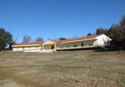
From the electrical tower, you will walk for a few meters under the power lines. Soon you will leave the power lines behind you on your right, turning toward the NW. You will descend gently and cross a number of fields. Finally, you will emerge onto (5) road number L-913 (2:50 - 1,042 m). Follow the road for about 1.5 km until you arrive at the (6) Hostal Roig (3:10 - 1,095 m). It is an abandoned inn that was given its name because of the reddish soil that surrounds the house. The building is currently used as a corral for sheep. At Hostal Roig, the GR 1-4 detours away from GR 1, crossing the serra del Montsec along the North side.
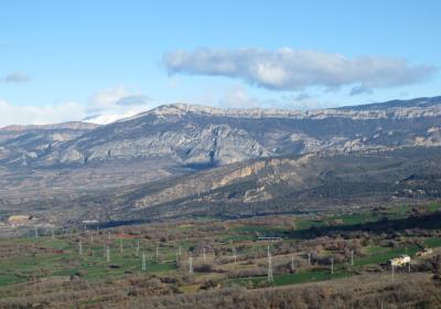
Walking along while enjoying the great views of the Montsec, a spectacular limestone rock formation that is more than 40 km long.
Discovering incredibly beautiful spots, such as the Bonrepòs sanctuary, located on the northern slope of the Montsec de Rúbies.
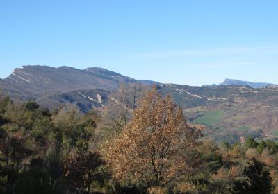
The marvelous image of the Roca del Arçs and the Roca Alta as seen from the serra del Cucut.
The area you will walk through during this stage of the GR 1 was the setting for constant battles during the Spanish Civil War? Around the Bonrepòs sanctuary and the Hostal Roig, you will see the remains of various military buildings: bunkers, trenches, lookouts...
The views of the lovely and wild canyon of l’Escala del Pas Nou, from the high points on the stretch that runs along the serra del Cucut. You will see how the Boix River, which has its source near the Hostal Roig and flows into the Segre, runs between impressive limestone walls. From the serra del Cucut you will also be able to see road number L-913, which was built in 1922 and which supplanted the old mule track of l’Escala del Pas Nou, which followed the course of the Boix River, connecting the Pallars with Vilanova de Meià.
The GR 1-4 detour off of the GR 1 begins at the Hostal Roig. This turnoff runs along the Northern face of the serra del Montsec (vall de Barcedana, Mata-Solana, the Terradets canyon, Sant Esteve de la Sarga, la Clua) and reconnects with GR 1 at la Masieta, on the Northern end of the canyon of Mont-rebei.
The route for this stage is very exposed to the sun. If you are travelling during the summer months, it is important to drink plenty of water and protect yourself from the sun to prevent sunstroke.

