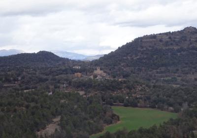
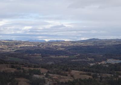
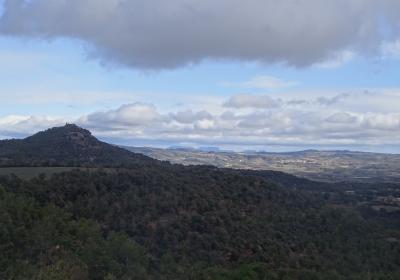
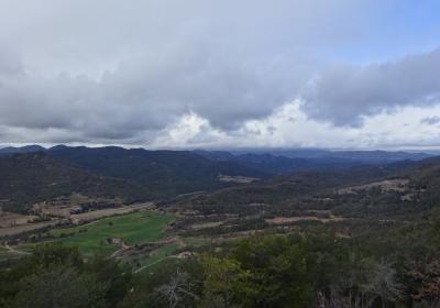
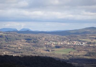
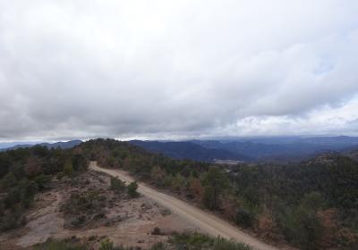
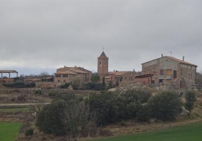
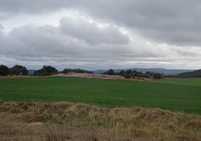
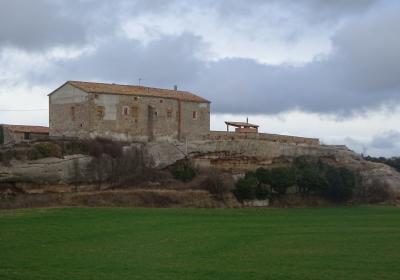
The tenth stage of the Transversal GR 1 route begins in Lluçà and runs between the districts of Osona and Berguedà. There are lots of places of interest along the route: you can enjoy sweeping views from the slopes of Plana hill, visit the old country houses that offer reminders of the great tradition and peasant activity of Lluçanès, cross the popular stream of Merlès -Riera de Merlès-, walk among the fields of Pla de Sagàs and end the stage by discovering the pretty church of Sant Andreu de Sagàs.
Considerable. Due to the length and ascent to overcome.
No special equipment needed.
Lluçanès. 01:30.000. Editorial Alpina.
Topographic base of Catalonia 01:25,000 Geological and Cartographic Institute of Catalonia (ICGC).
You begin the eleventh stage of the GR 1 route in (1) Lluçà (0:00h - 750m). There are constant detours and path changes throughout the stage. You should pay attention to your direction and follow the white and red GR signs at all times.
From the monastery of Santa María de Lluçà, you take the path that heads west through several crop fields. Soon afterwards, you turn right (N) and cross the ravine of the stream of Miralles. You turn left (SW) and climb up to the (2) hill of Plana (0:40 - 797m). Take the path on the left and follow the crest southward. During this stretch you can enjoy very good views on both sides of the hill. You pass the hill of Guiau and make a very gradual descent.
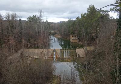
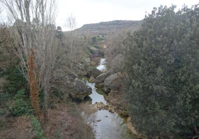
You pass several paths before finally arriving at the (3) detour of the valley of the stream of Sant Joan (1:15 - 751m). Take the path that first loops down through the forest, and then runs along the ravine westward towards the (4) stream of Sany Joan (1:40 - 606m). At this point you pass Mas de Can Manyaques on the right and take the path on the left, which goes through Obaga de Sant Joan. You go around the mountain and soon enter the valley of Riera de Merlès. Keep going (SW) and you will arrive at the (5) road C-154 (2:15h - 544m). On your right hand side, you have the stream, and on the left, the Sant Cristòfol hostal.
You cross the stream over the bridge of the C-154 road and then take the secondary road that emerges towards the right (NE). After 300m, you leave this road and take a turn off on the left. You pass among the buildings of Molí de Vilalta and climb up to (7) Can Vilalta (2:35 - 565m). Continue on, cross the Regatell stream and you will come out onto the C-154 road. You walk around 250m along the side of the road until you take a detour towards the right (signposted). You take a path that leads to the country house of Can Torrents. Afterwards you change paths several times and cross several streams, always heading west. Following an uphill stretch, you arrive at the (8) Pla de la Creu (3:25 - 670m).
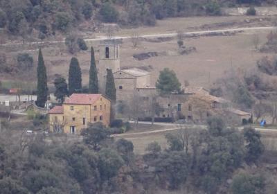
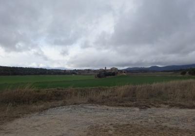
You pass the Mas de la Creu on the right and continue along the path heading north west. You soon reach a crossroads, the joining point of the GR 1 and GR 4 paths that share the same route from here until Sant Andreu de Sagàs. You walk across a very pleasant area -known as Pla de Sagàs- and through extensive fields of cereal crops. Pass Cal Maties and Can Pou keep going until your reach the little chapel of Sant Jordi. You head out onto the BV-4346 road and climb some stairs to the plaza of the church of (9) Sant Andreu de Sagàs (4:00h - 738m), the finishing point of the stage in the heart of Lluçanès.
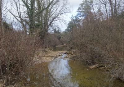
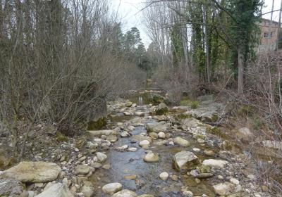
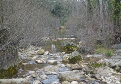
Cross the Riera de Merlès, a watercourse that hides places of great beauty and which have great landscape and natural appeal.
Discover the peasant tradition of Sagàs and of the other towns in Lluçanès that, for centuries, have lived from farming and livestock activities.
End the stage next to the pretty church of Sant Andreu de Sagàs.
It is said that the Riera de Merlès was a meeting point for witches? There are lots of legends that talk of mysterious acts of witchcraft taking place in this strange place during the Middle Ages.
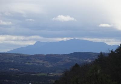
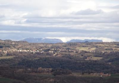
The panoramic views you have during the stretch of the route undertaken after Plana hill. You can observe a large part of Lluçanès and, if there is good visibility, some nearby mountains such as Montserrat, Sant Llorenç del Munt, Montseny, Catllaràs, Moixeró, ...
The final stretch of this stage coincides with the GR 4, a long distance path that links Puigcerdà and the monastery of Montserrat in 11 stages (162 km).

