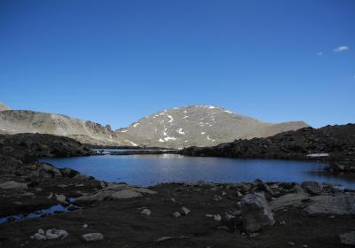
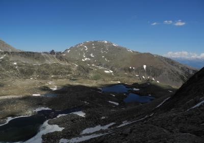
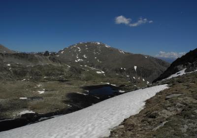
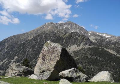
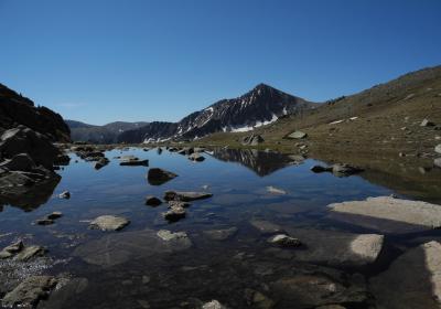
The thirteenth stage of the Trans-Pyrenees Crossing enables you to see the high mountains of Cerdanya. From the Malniu Refuge you will flank the Puigpedrós Massif and reach the wild cirque of Engorgs. The sight is amazing: several glacial lakes in the middle of the great peaks that define the cirque. Always advancing on the mountain paths, go beyond Portella d'Engorgs and descend to the bottom of the Llosa Valley, a picturesque glacial valley that has long been a crossing for several traditional border routes. We end the stage going up the Vallcivera Valley and entering Andorra through the l'Illa Hill.
High (F). Stage without notable technical difficulties but that runs through high mountain terrain. In winter conditions, the technical difficulty of the stage increases considerably.
In winter and spring, you will encounter snow and ice at high altitudes.
Crampons and an ice ax depending on the time of year.
Cerdanya. 01:50.000. Editorial Alpina.
Topographic base of Catalonia 1:25.000. Geological and Cartographic Institute of Catalonia (ICGC).
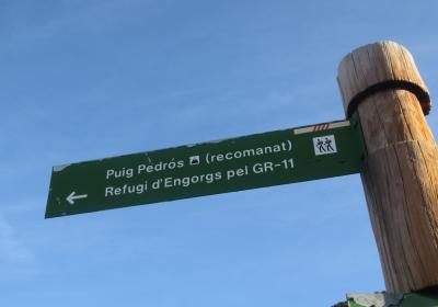
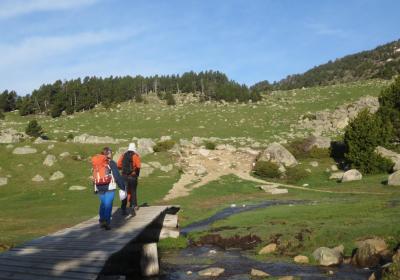
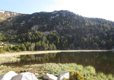
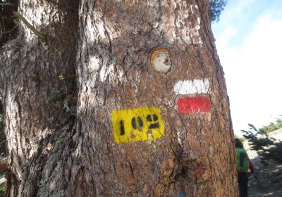
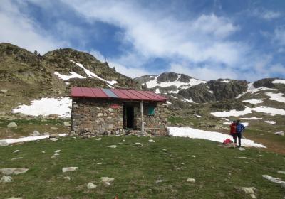
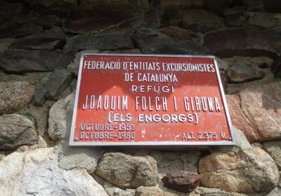
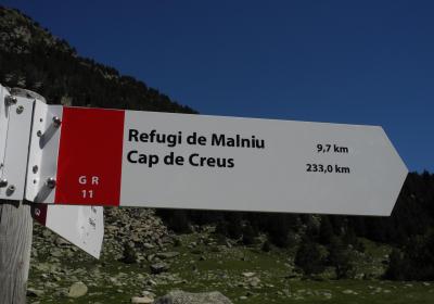
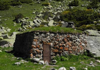
Let's begin the 13th stage of the Trans-Pyrenees Crossing to (1) Malniu Refuge (0:00 - 2,130m). From this point you will follow the red and white GR 11 markers and the Engorgs Refuge signs. Cross the wooden foot bridge next to Sec Lake and Refugi Lake and start walking westwards along a path that flanks the mountain. After about 1.5 km the road turns right (NW) and you will enter the Duran Valley. To your left, at the bottom of the Valley, you will see the Campllong Plains. Cross the Corniols Forest and go up the valley towards its top. You are flanking the Puigpedrós Massif, which you have immediately to your N. You will reach a flatter area where there is no longer any trees, arriving at (2) J. Folch Girona Refuge (1:40 - 2,380m) also known as Engorgs Refuge. This open refuge is only a small hut, but could serve as a shelter in the case of an emergency.
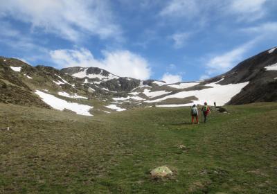
At this point you will turn to the left and follow the route of the GR 11 towards the west. Now you will face a demanding uphill stretch to Portella d'Engorgs Hill. Since this section is rather vague, you must be aware of the direction and clearly know the location of the hill. After an initial section in a secondary ravine, you will reach Minyons Lake and the view of the whole Engorgs Lake will open up as well as the surrounding mountain cirques: Tosseta de l'Esquella (2,869m), the peaks of Engorgs (2,831m and 2,819m), Puigpedrós (2,915m),... You will reach the westernmost group of the set of mountains -Portella Lake- and tackle a rough climb to (3) Portella d'Engorgs (2:40 - 2,691m), the highest point of the stage.
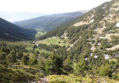
Now you begin the descent towards Llosa Valley. First you advance for a few minutes through a rough flat area and take advantage to enjoy stunning views to the west: Muga Peak (2,861m), Vallcivera Valley, which you will climb further on and the peaks of Ribuls (2,819 m) and Montmalús (2,781m). Then the slope increases and you will began a long and steep descent that leads to the (4) Esparvers Cabin (3:45 - 2,100m), at the bottom of the Llosa Valley. You can clearly see the characteristic "U" shape of the glacial valleys. We are at a point that has always been a crossroads: where shepherds have passed, as well as bandits, smugglers, fugitives, etc.
Several long-distance paths currently coincide at the crossroads. The GR 11 goes westwards towards Andorra through the Vallcivera Valley. The GR 107, which is called the Route of the Cathars or Càtars, is a route that goes to the Llosa Valley (S) and continues to Pas dels Rabadans (NE). The GR 11-10 variant also begins at this point and heads down through Llosa Valley towards Viliella; This variant again connects with the main GR 11 route in the Madriu Valley (Andorra).
Therefore, continue westwards and go up the Vallcivera Valley towards the top. You have arrived at the plains of Vallcivera, a beautiful place. At this point the road turns slightly to the right (NW) and goes up until reaching l'Illa Hill. You will enter Andorra. Now you only need to descend until reaching l'Illa Lake where you will find (5) l'Illa Refuge (5:20 - 2,480m).
The steep and rocky Engorgs Cirque and the various glacial lakes you will encounter.
The strong "U" form of the Llosa Valley, a beautiful glacial valley.
Spending a night next tol'Illa Lake, surrounded by mountains of over 2800m.
Until a few decades ago the Llosa Valley was an important means of travel? From the cabin in Esparvers you can access Andorra through Vallcivera or France through Portella Blanca. These mountain passes have been used for centuries by shepherds, smugglers, carriers, fugitives, etc.
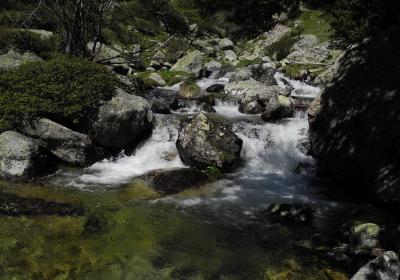
The variety of landscapes and natural diversity of the river valleys of Duran and Valltova. This secondary valley with glacial origins gives way to the Engorgs Cirque and extends south to the main valley of the Segre River. You will walk in its highest point during the first third of the stage.
In Esparvers the Trans-Pyrenees Crossing GR 11-10 variant begins: this variant descends through the Llosa Valley, passes through the Cap del Rec Refuge (Lles de Cerdanya), the lakes of Pera, Perafita Hill and reconnects with the GR 11 base route in the lower part of the Madriu Valley, near Escaldes (Andorra).

